
Top 4 Lookouts of Downtown Edmonton, Alberta
*Unpulished
About this English self-guided 43m driving tour in Edmonton
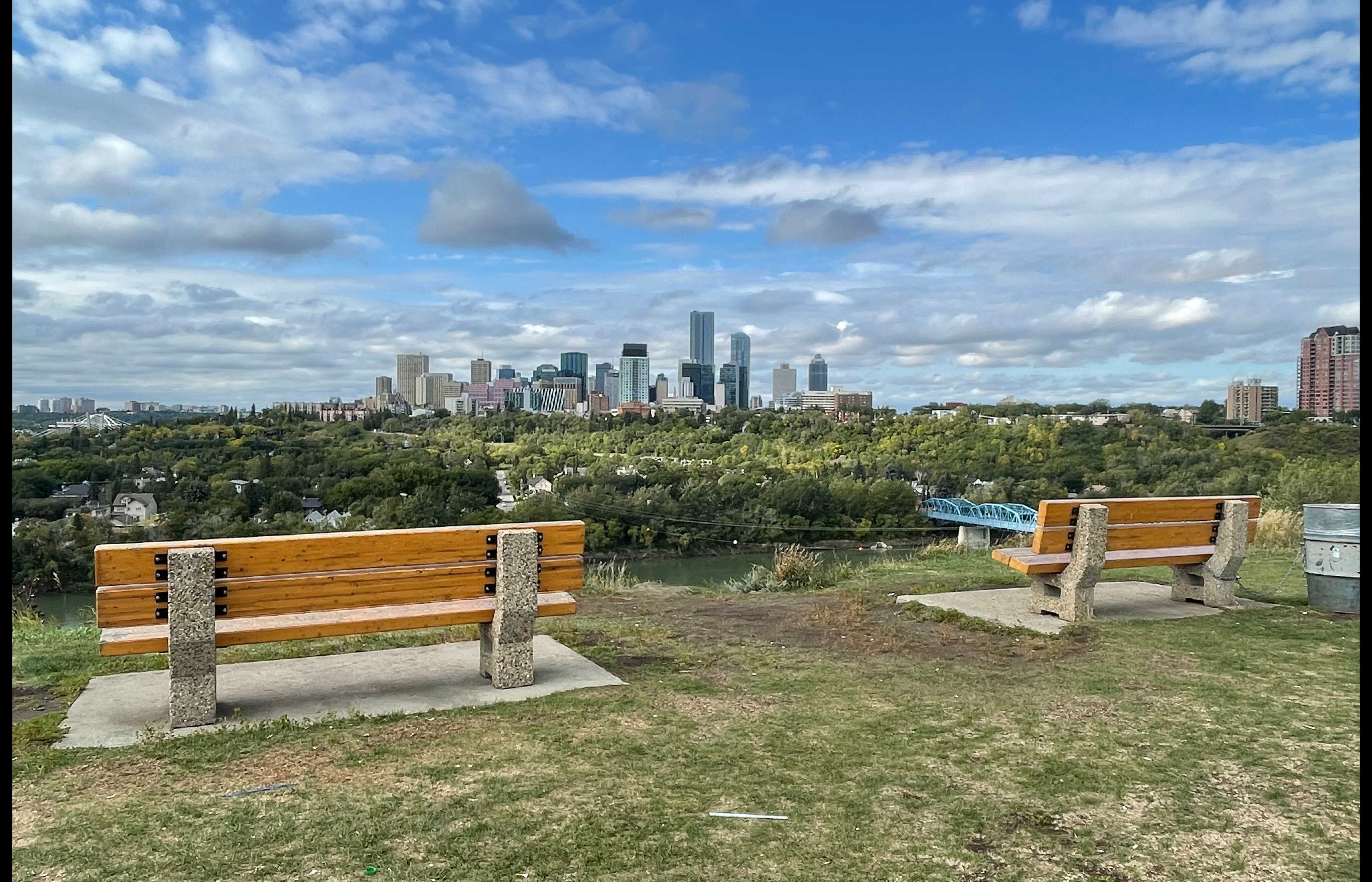
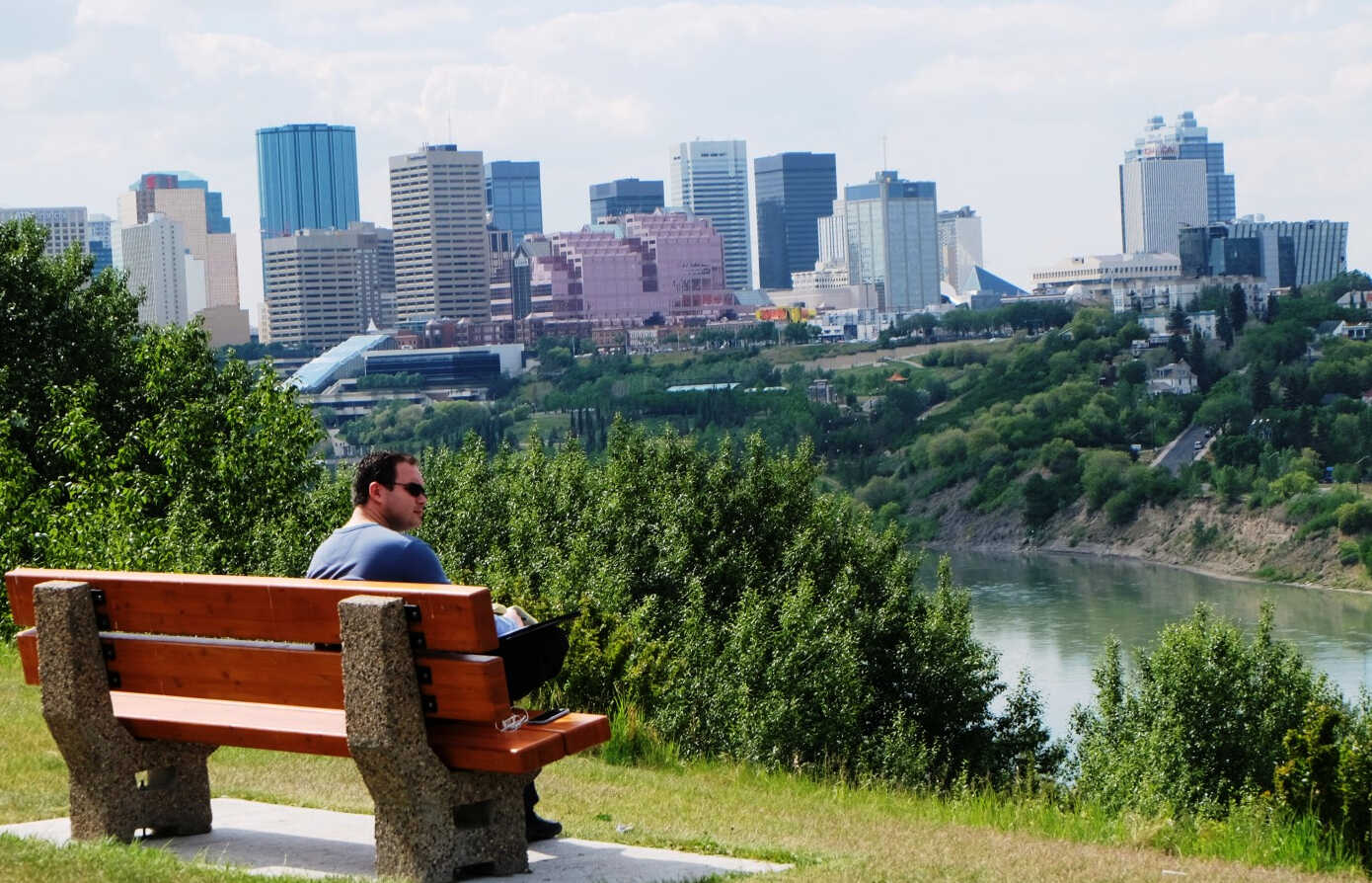
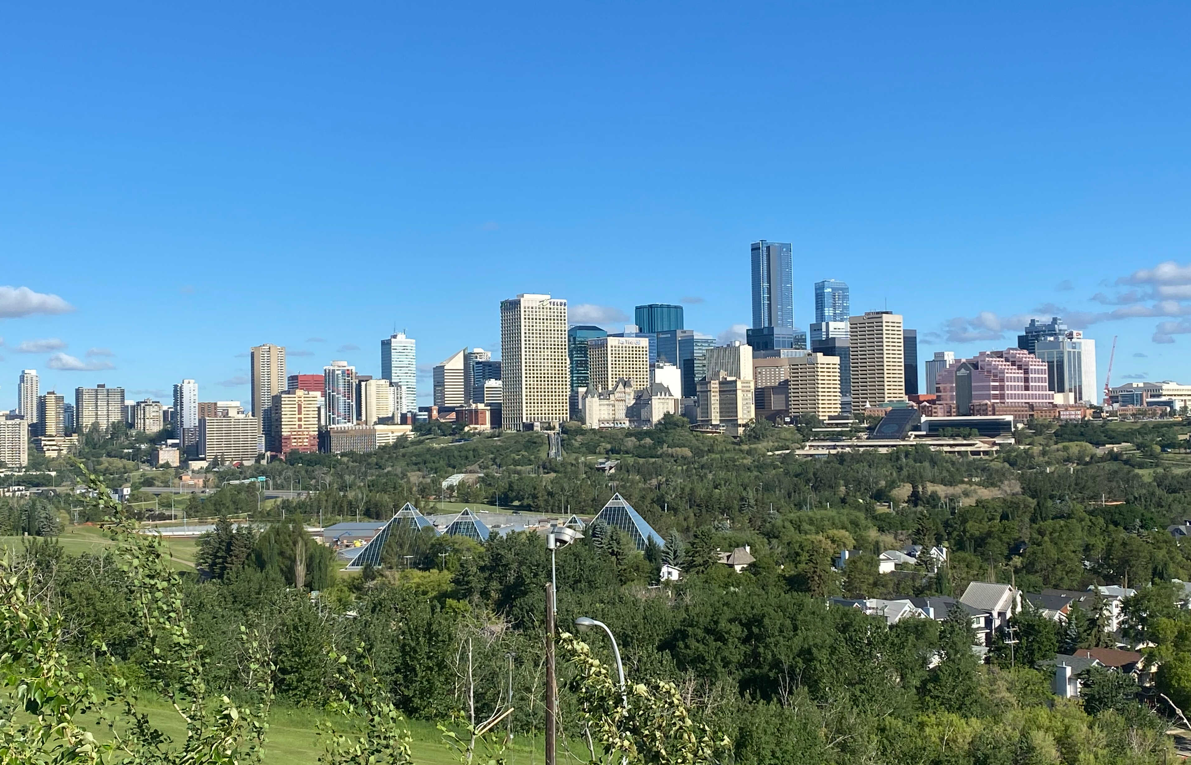
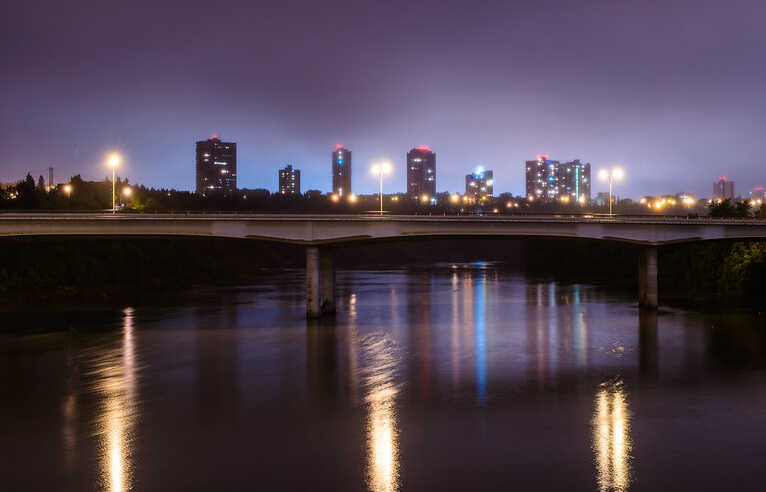
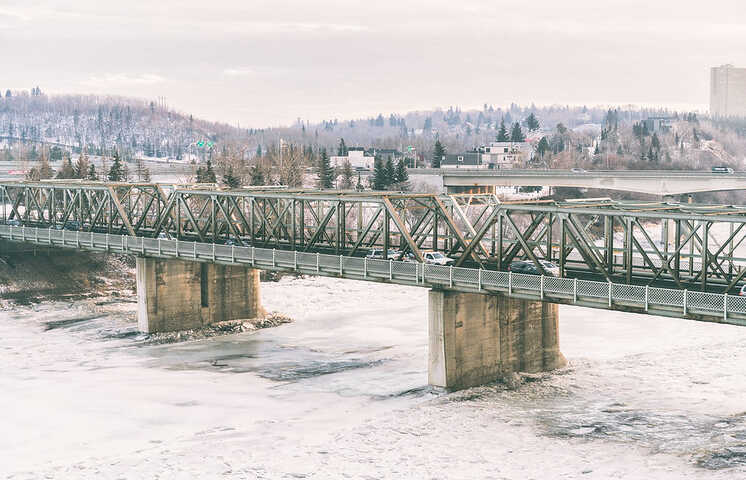
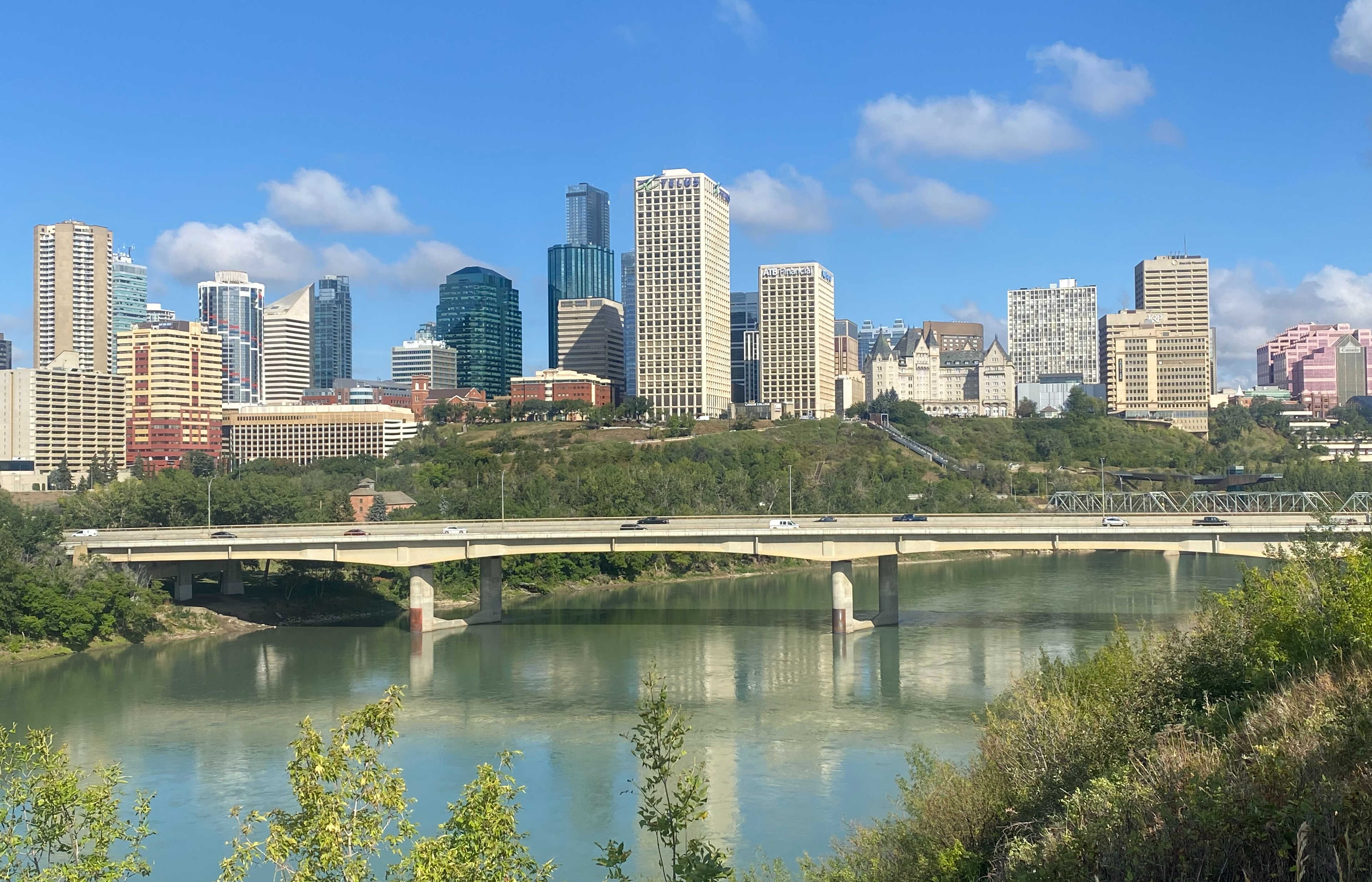
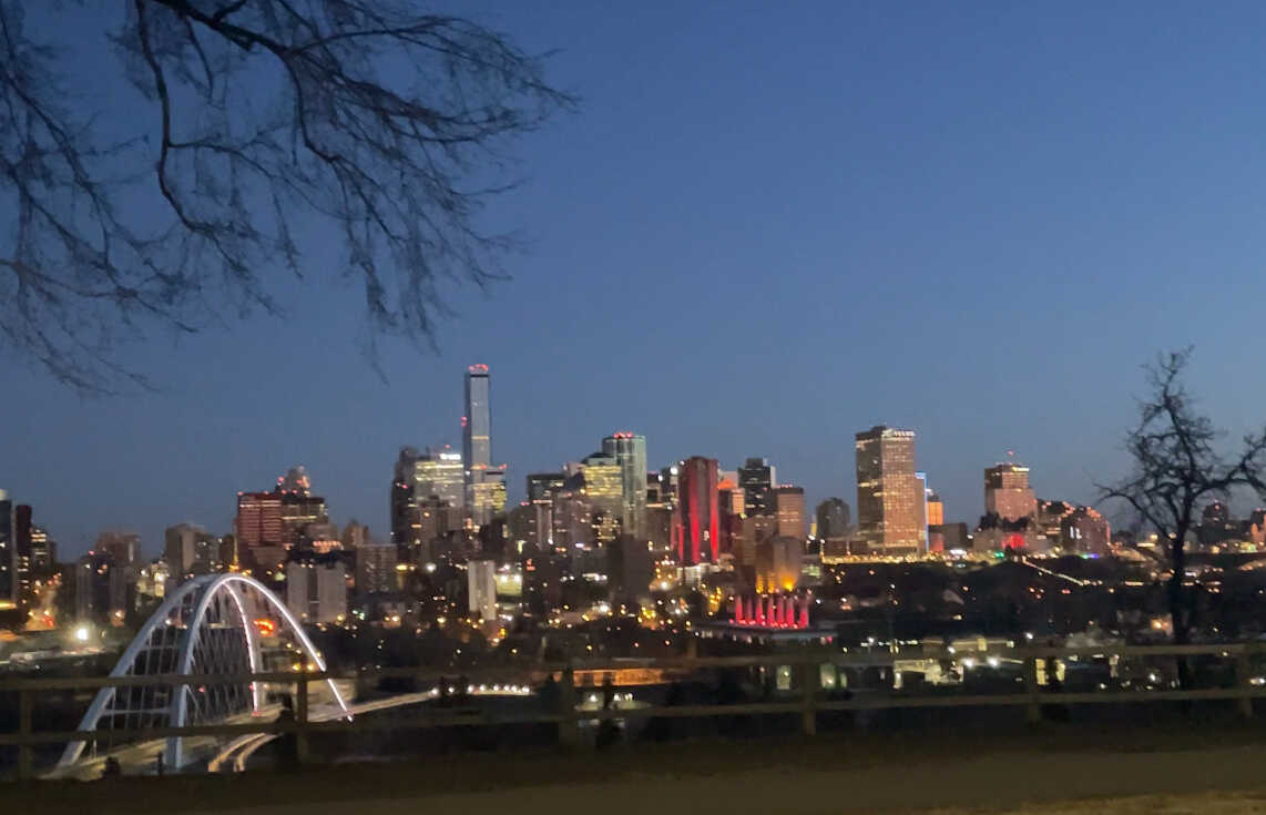
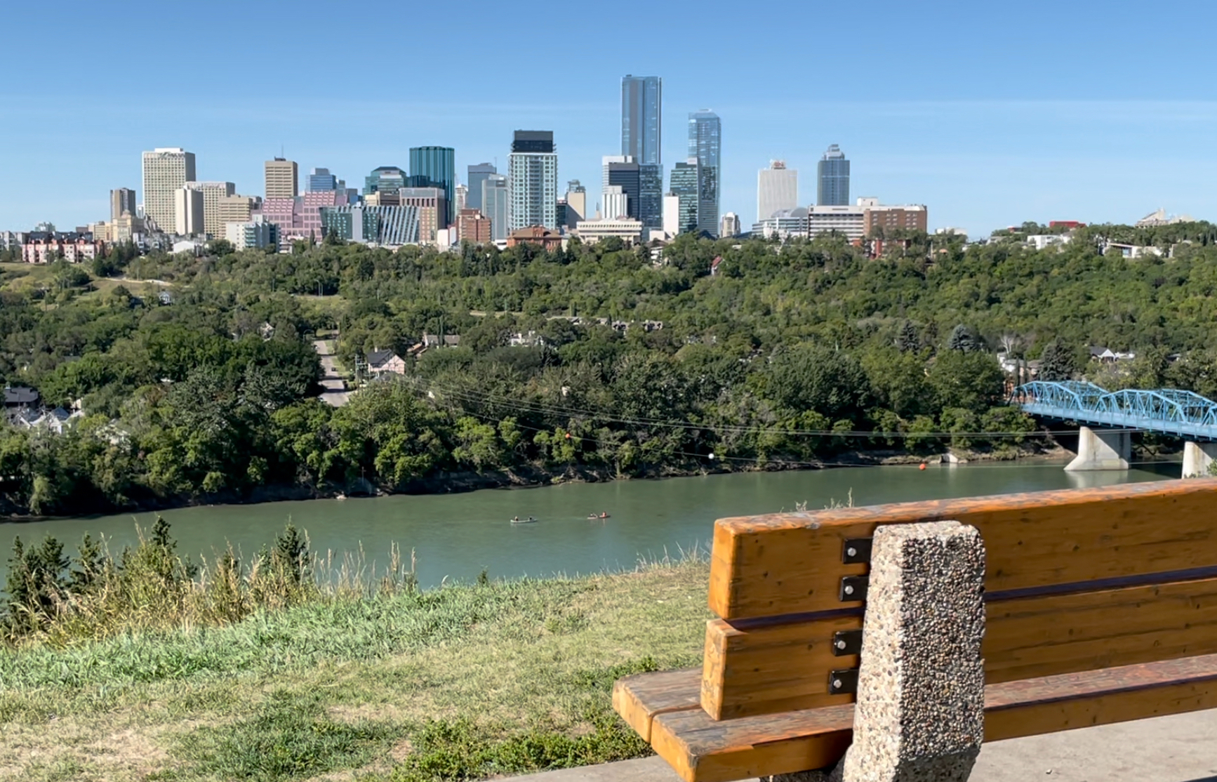
Welcome to Edmonton! The capital city of the Canadian province of Alberta, Edmonton is a wondrous metropolis that is home to a lively and diverse culture and some stunning views! With a year-round slate of festivals earning the city its nickname “ Canada’s Festival City”, Edmonton is almost always alive with northern spirit. A product of this spectacular culture and geography is the many breathtaking and majestic lookout points scattered along the Fort Saskatchewan River. Follow this tour to check out some of the best ones, and make sure to take some panoramic photos!
Once we’re done here, make sure to contact Jenn McPhillamey of RE/MAX River City! Her unwavering integrity and proactive mindset mirror that of this beautiful bend we call Edmonton! She’ll be standing by once we’re done for any and all questions about Canada’s Festival City, but for now, let’s get ready to see why Jenn and so many other wonderful people are proud to call this city home!
- Category
-
Language
English