Where to Live: Central Contra Costa County, CA
*Unpublished
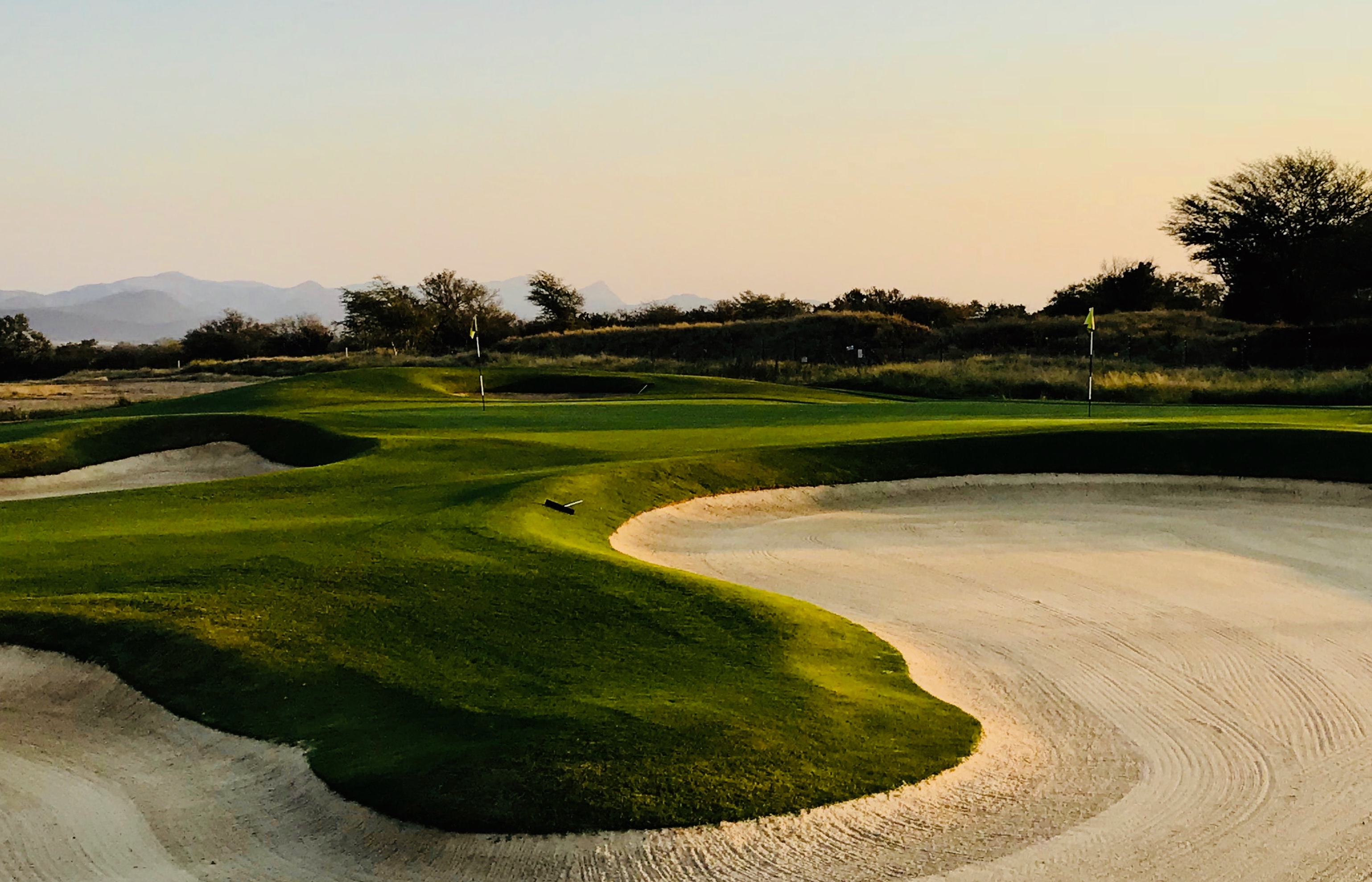
About this English self-guided 2h:42m driving tour in Clayton
Hello, and welcome to this Where to live tour of Contra Costa County, brought to you on behalf of our local expert Realtor Barbara Brodrick.
Barbara has been a resident for over 45 years. During that time she has moved between San Francisco, Oakland, Sunnyvale, and San Jose, which has given her a unique and knowledgeable perspective on the diverse neighborhoods of the Bay Area.
The hallmark of Barbara's career has been customer service. She has consistently been recognized and has received corporate awards for delivering the highest level of customer service to her clients. She brings this work ethic, dedication, and commitment to each Real Estate transaction and to each of her clients.
If today’s tour inspires you to start your search for a home in Contra Costa or Alameda Counties, give Barbara a call at 925-403-1213. You can also reach her via email at barbara@thebrodrickgroup.com.
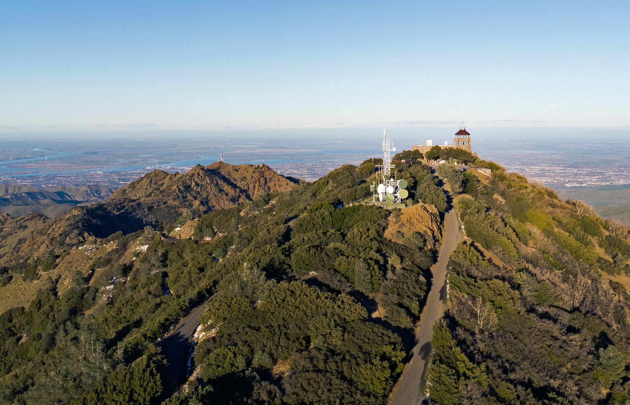
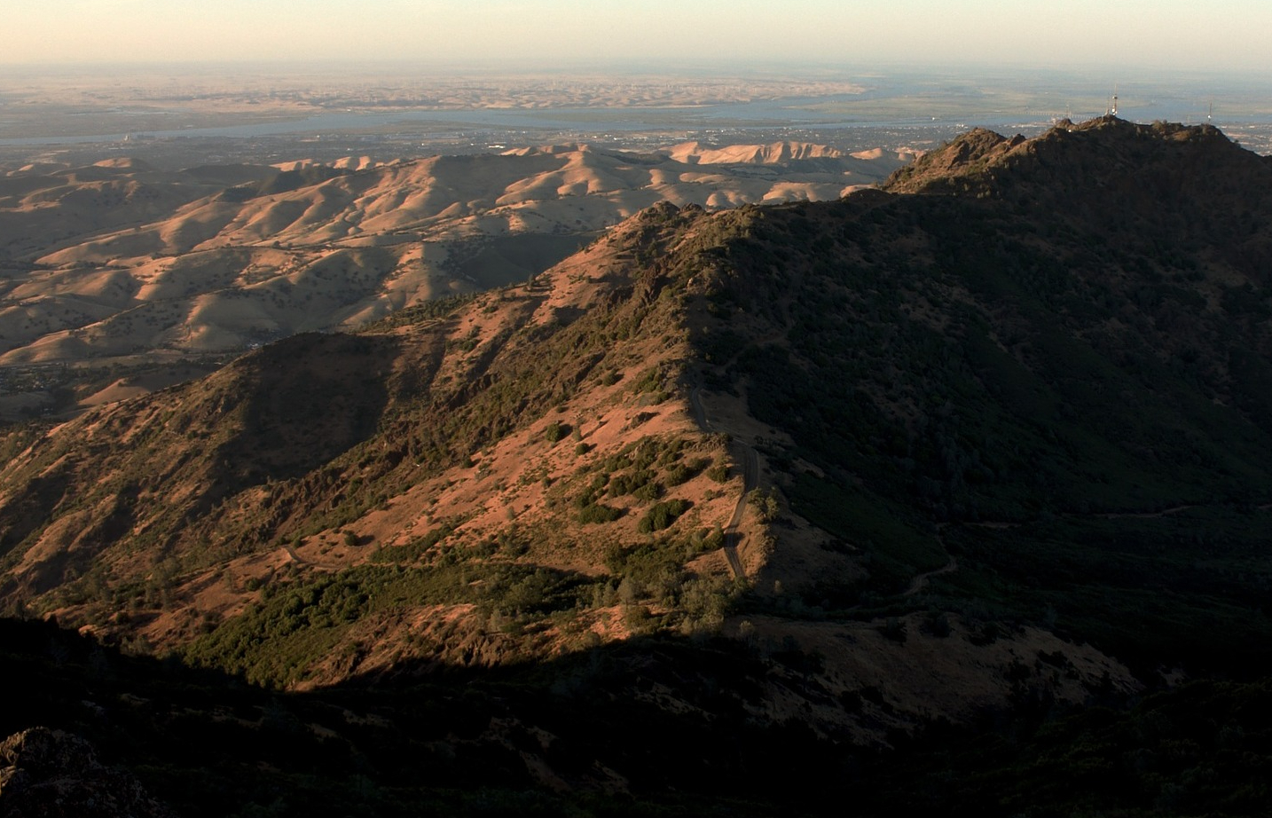
All right! Let’s get started with the tour. Our first stop is the foot of Mount Diablo, an iconic peak that can be seen from towns across the county. Follow your GPS navigation to get started!
- Category
- Language
- Region
- Country
- City