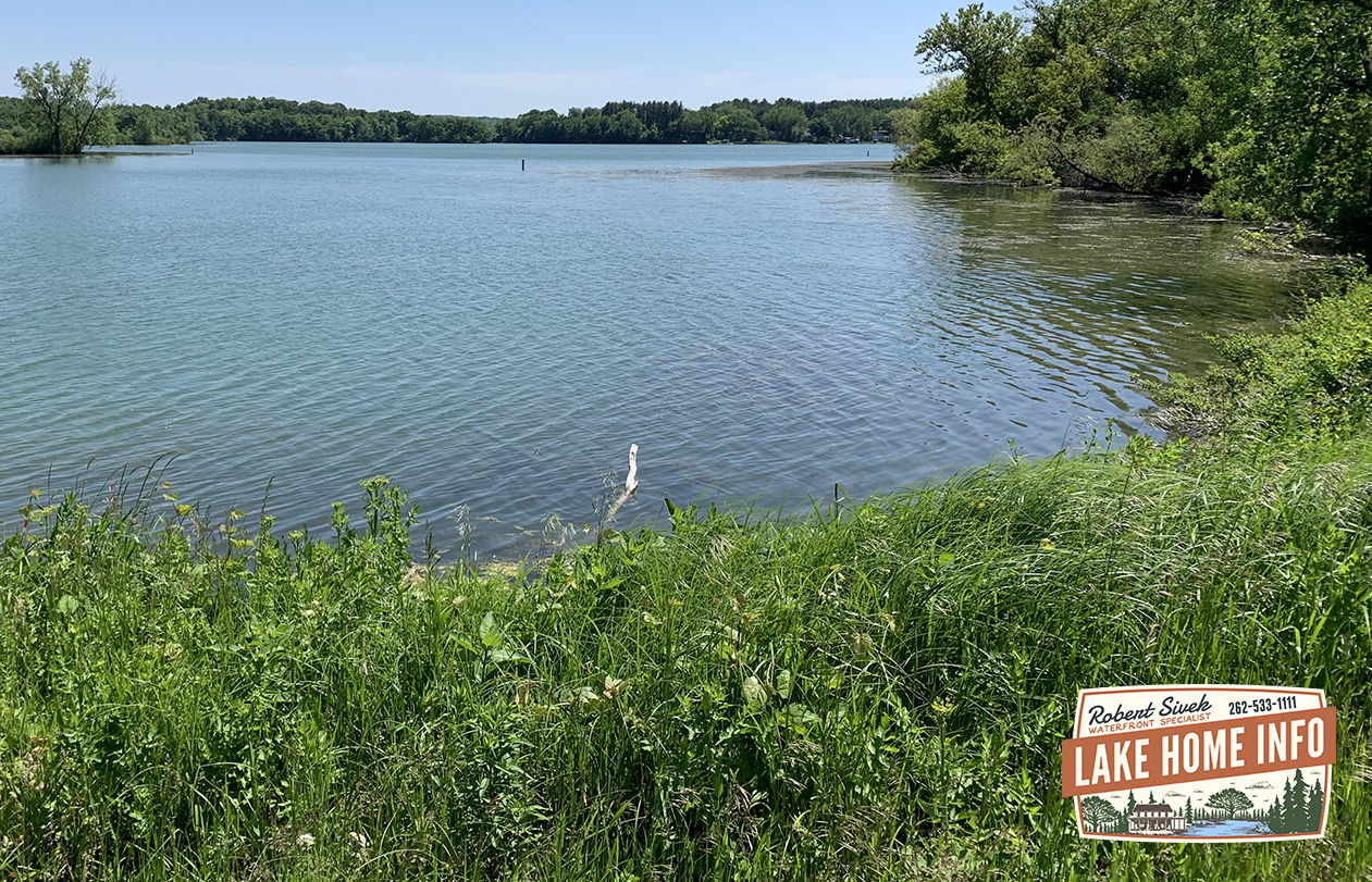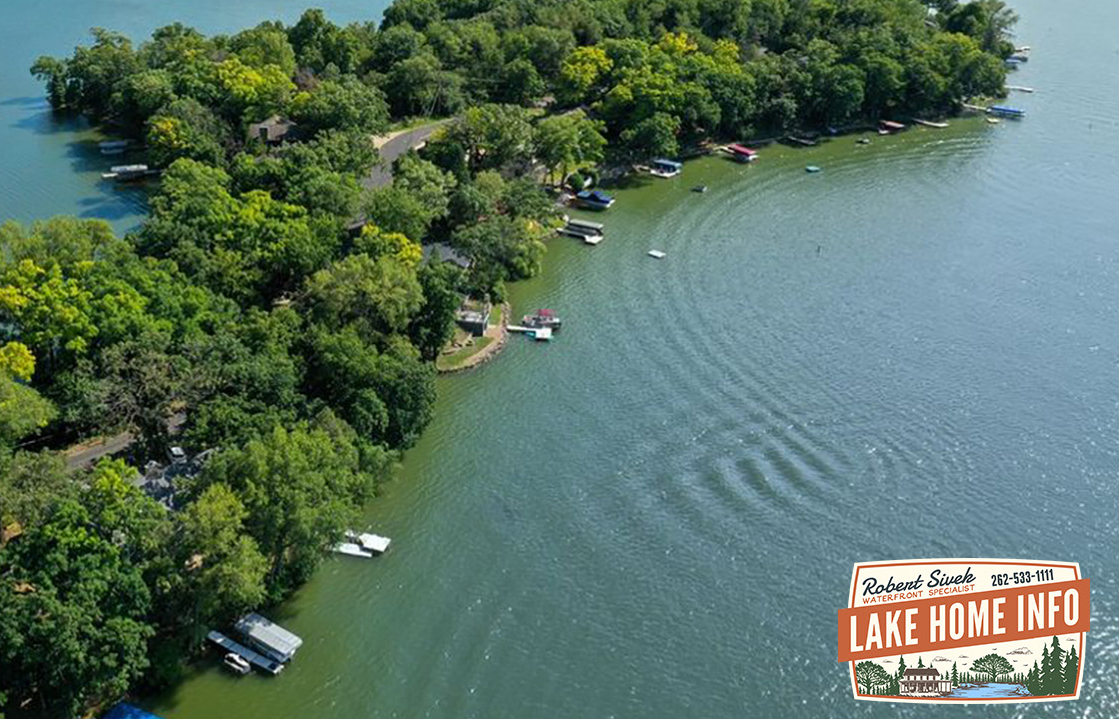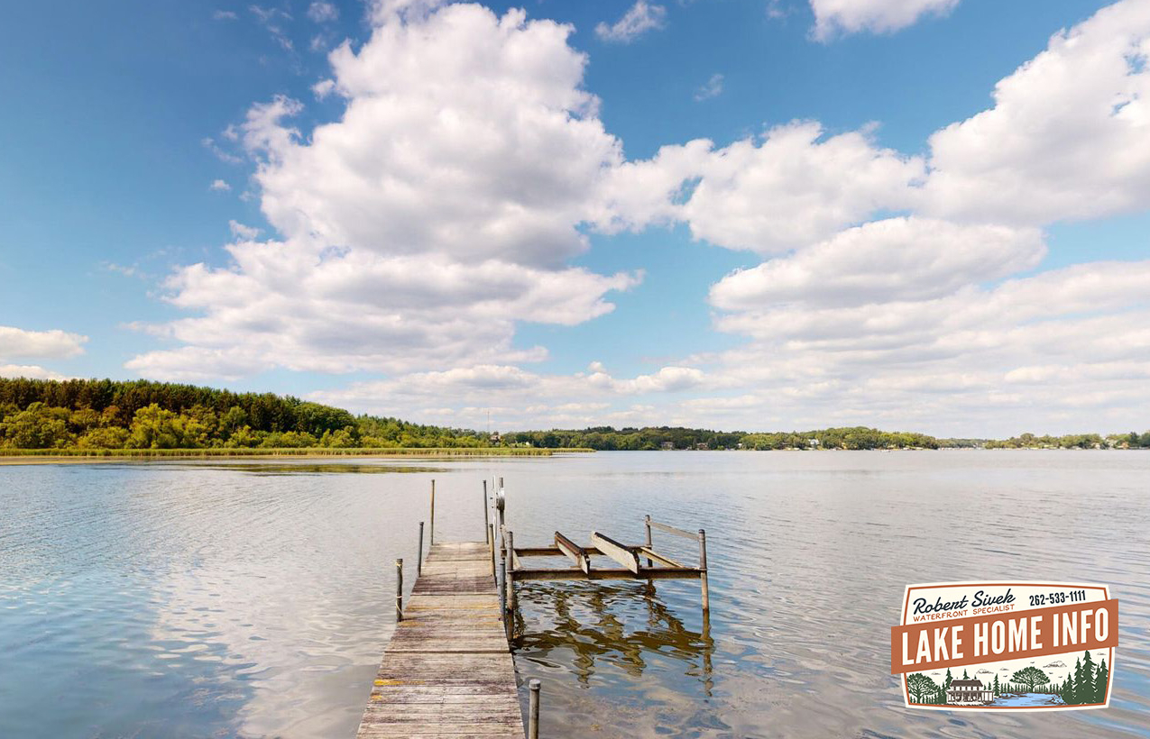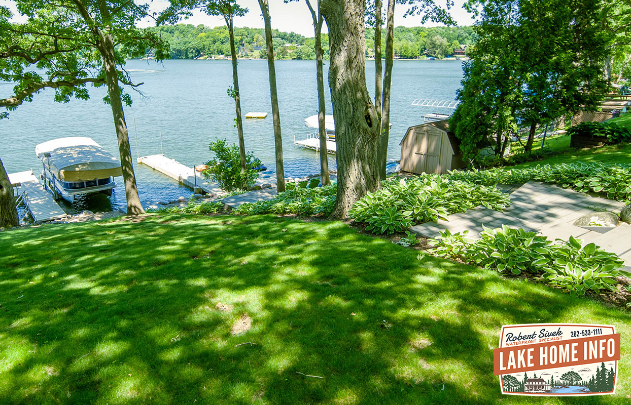
Lake Homes on Whitewater Lake, Wisconsin
About this English self-guided 1h:30m driving tour in Whitewater
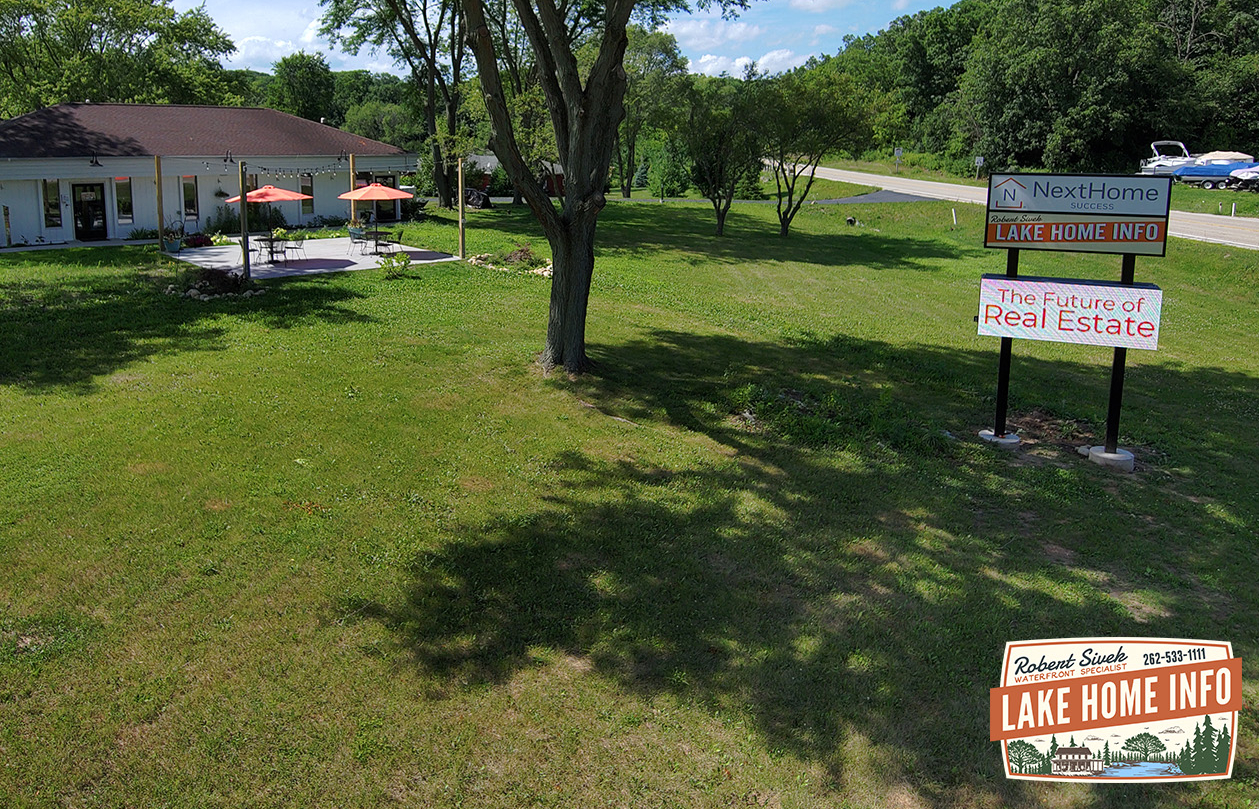
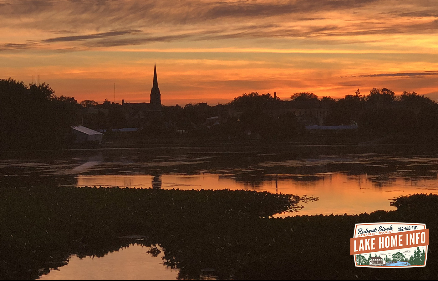
Hello, and Welcome to this tour of the Whitewater & Rice Lake Area provided by Lake Home Info. Lake Home Info is owned by Robert Sivek, who is a realtor with NextHome Success and lives on Whitewater Lake full time.
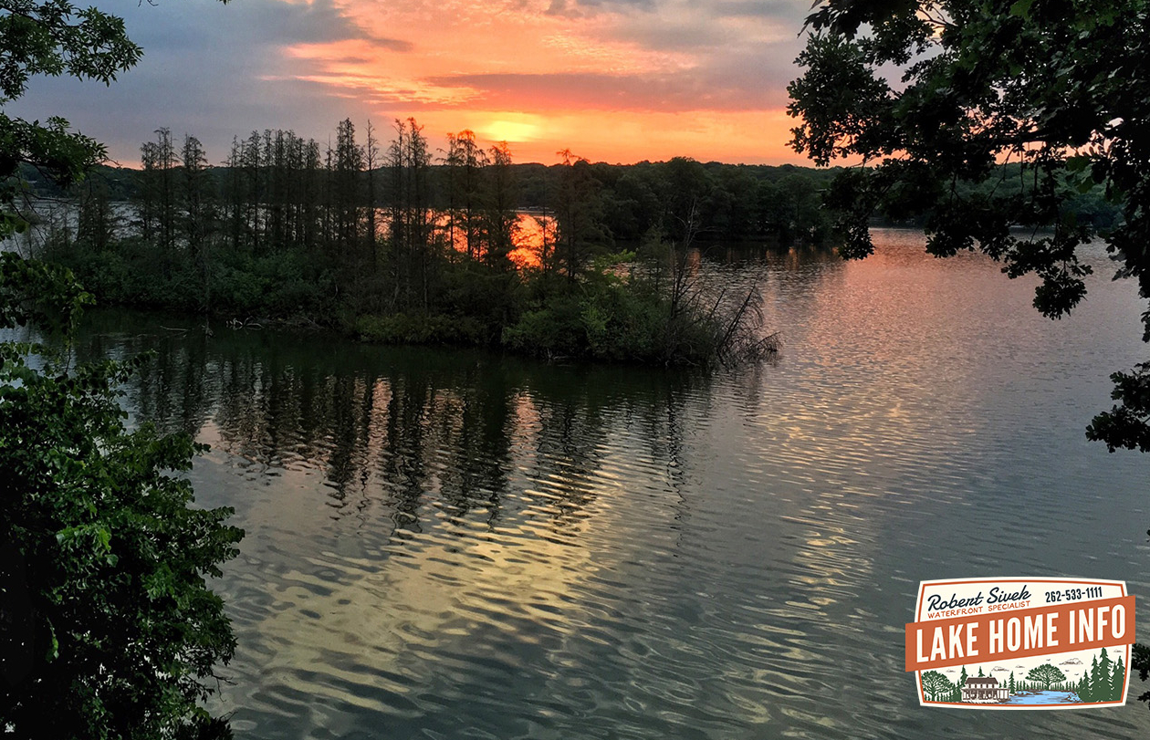
You’ll often see him stopped on the side of the road taking pictures of wildlife, scenery, and sunsets or driving to towns throughout Wisconsin to check out the foodie and supper club scene.
Robert will help you explore the area to discover all the wonderful places to go and things to do.
Robert is passionate about lake living. His desire is to bring buyers and sellers together giving his customers the best possible transactional experience. As a Certified Luxury Home Marketing Specialist and a Resort & Second Home Property Specialist, Robert can help make your lake home dreams a reality!
His extensive lake home expertise has earned him the reputation as “The Waterfront Specialist.” If you really want to learn about quality lakefront living, Robert will help you explore the waterfront life. He loves to educate potential buyers on lake life, lake conditions, fishing, lake associations, schools, market conditions, the economy, and more. Robert created this tour to showcase everything the area has to offer!
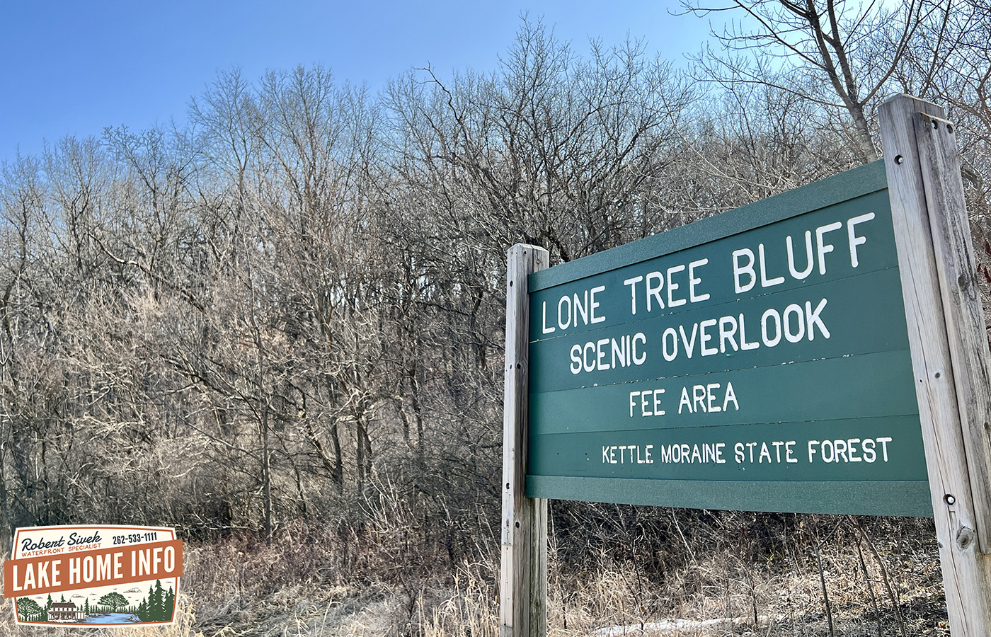
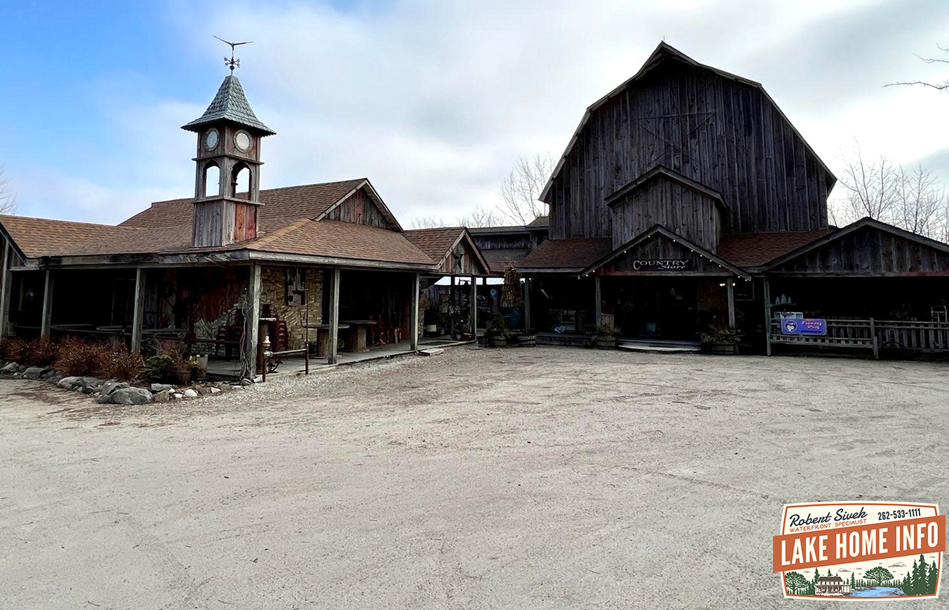
All right, Let’s get started! Follow the GPS navigation to the first stop on the tour, the Lake Home Info office.
- Category
- Language
- Mode
- Region
- Country
- City