Grand Canyon Self-Guided (GPS) Audio Driving Tour, Arizona - South Rim Gorge Scenic Drive
About this English self-guided 1h:41m driving tour in Grand Canyon Village
Hello and welcome to this UCPlaces tour of the Grand Canyon.
My name is Dave, and I will be your co-pilot today as we embark on an awe-inspiring journey along the South Rim of the Grand Canyon, where time stands still amidst nature's grandeur. As you navigate the winding roads that hug the edge of this colossal chasm, prepare to be enveloped in a symphony of colors, shapes, and shadows carved by millions of years of geological evolution. Each turn reveals a new vista, each viewpoint offering a glimpse into the depths of the earth's history. From the dizzying heights of towering cliffs to the serene beauty of the Colorado River below, this driving tour promises an unforgettable exploration of one of the world's most iconic natural wonders.
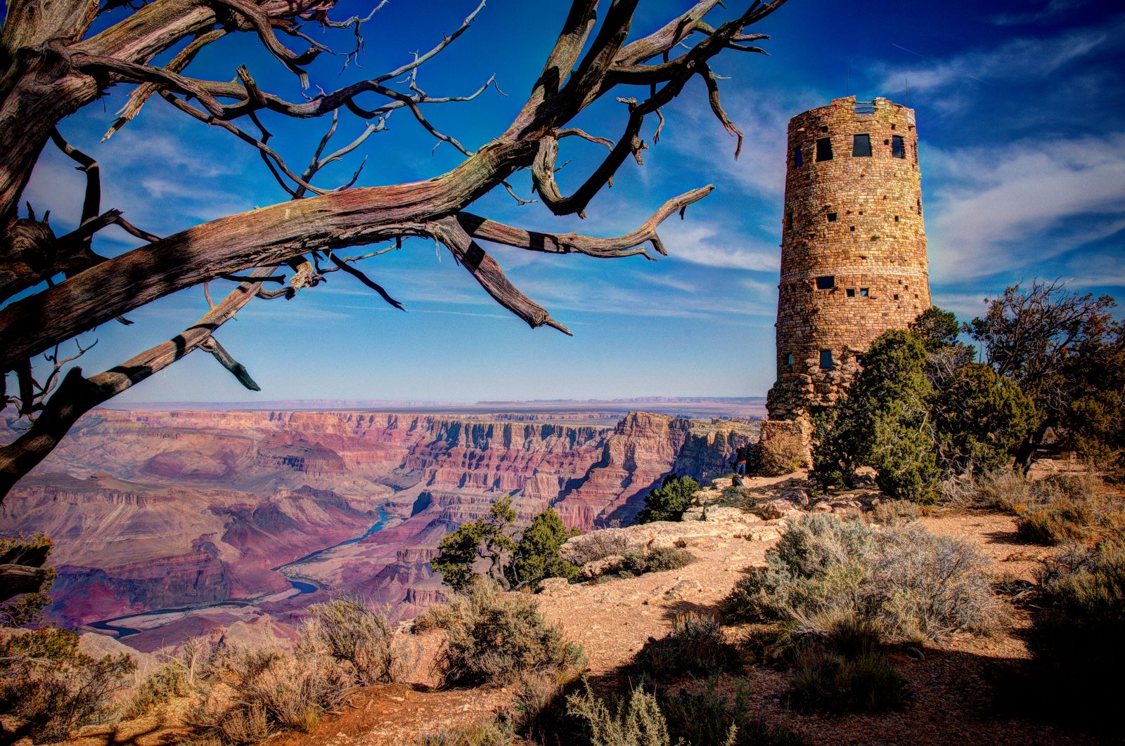
UCPlaces will be right there with you providing commentary and direction to help you enjoy your experience to the max. We will begin today at one of the eastern entrances to the south rim at Desert View Watchtower. Here you can fill up at the Chevron station, and grab some sandwiches and other refreshments at the Desert View Market and Deli. We will pass some picnic areas, and each stop will have a place to sit and enjoy a snack if you wish.
Today’s journey will take us approximately 30 miles, and from one and a half to two hours in duration. Ok, follow your navigation, and we will begin shortly heading west on Desert View Drive.
- Category
- Language
- Mode
- Region
- Country
- City