Duplicating
Tour copied successfully!

Places (POIs) visited during this tour

Place #1
Recommended Starting Point
Distance: 0.00mi
Map Pin
436 E Bridge St, Granbury, TX 76048, USA
POI 1 Tour Image
Welcome to Granbury: Doll House & Bridge Street History Center
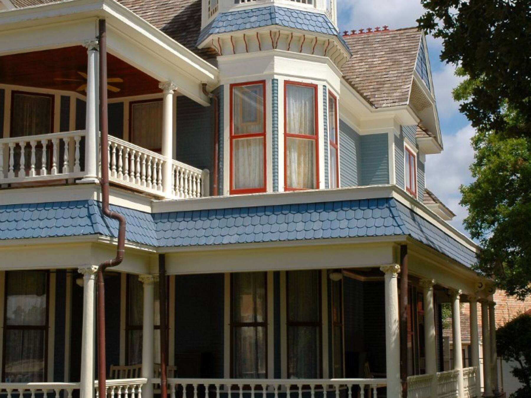
Get ready to turn left onto Stockton Street, but first, check out the house on your right, number 421. It may not look like a museum, but that's the Granbury Doll House Museum. The historic home was donated for use as a museum, and today it houses thousands of dolls from around the world, including some dating back to the 1800s.

And just beyond that, on the far-right corner of Stockton and Bridge, is the Bridge Street History Center, dedicated to preserving and sharing the history of Granbury and Hood County.

Now, turn left onto Stockton Street, and let's get this tour started!
Place #2
Distance: 0.17mi , Attraction : Historic District, Landmark (Recommended selfie spot).
Map Pin
351 E Pearl St, Granbury, TX 76048, USA
POI 2 Tour Image
Langdon Center
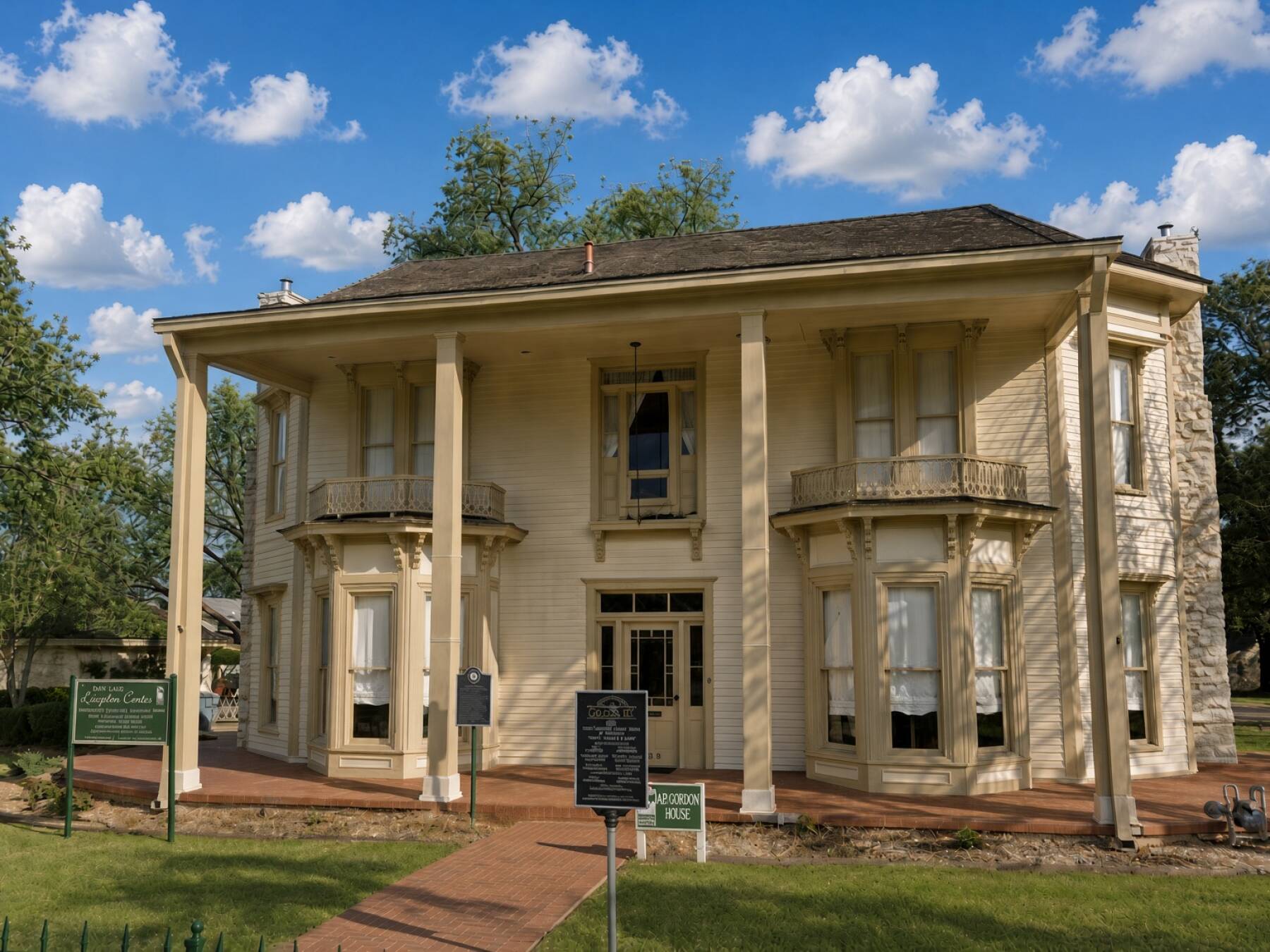
On your right is the City of Granbury's Langdon Center, a cultural and arts center housed in a collection of historic buildings. The center hosts art exhibits, concerts, workshops, and other community events throughout the year.

  https://www.granburysquare.com/
Place #3
Distance: 0.07mi
Map Pin
270 E Pearl St, Granbury, TX 76048, USA
POI 3 Tour Image
Historic Granbury Square & Hood County Courthouse
Get ready to turn right onto Crockett Street, but before you make the turn, look to your left. That's the Granbury Visitor Center, a great place to come back to if you'd like maps, local information, or recommendations for exploring the area.

Now, turn right onto Crockett Street.

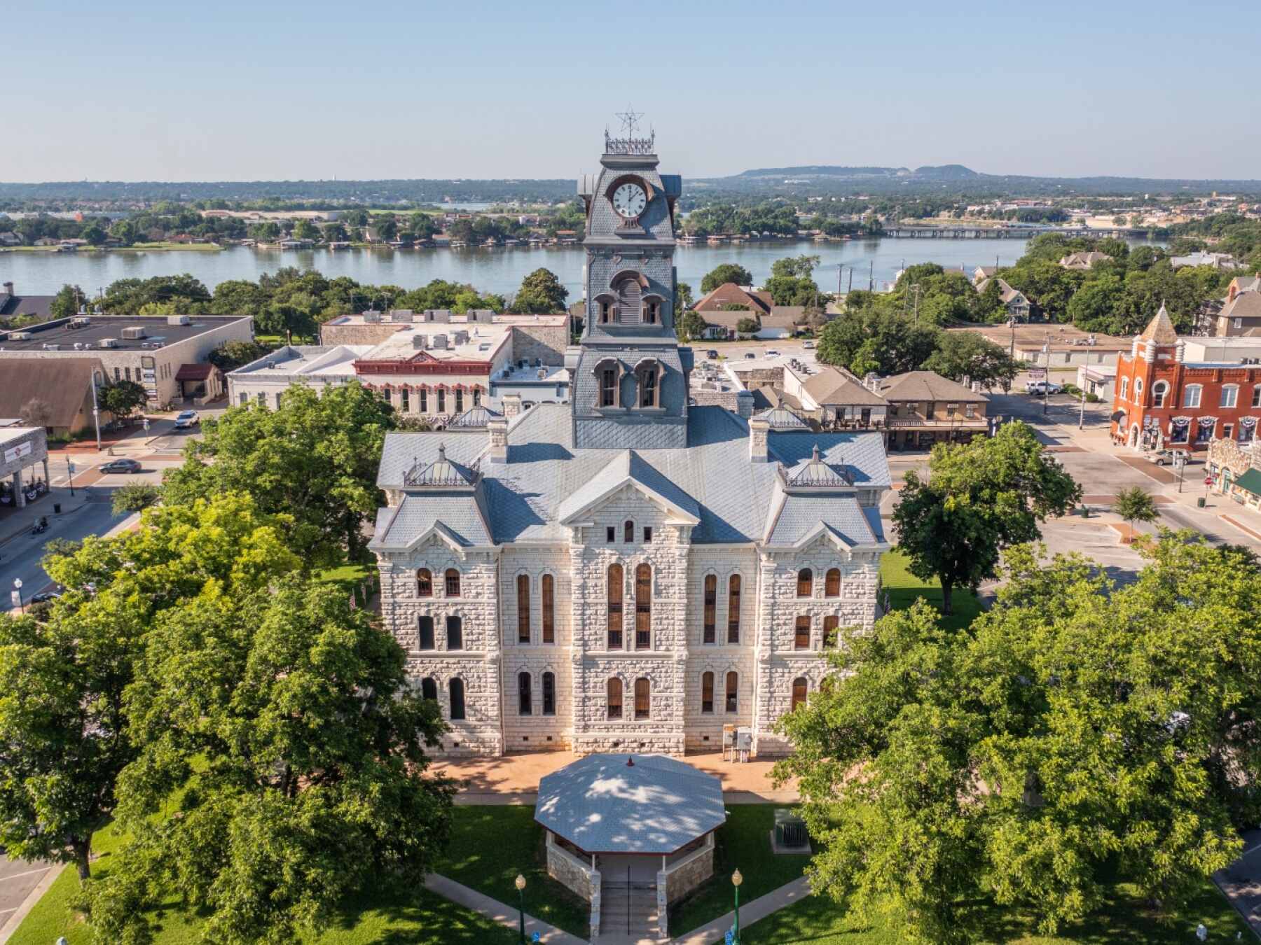
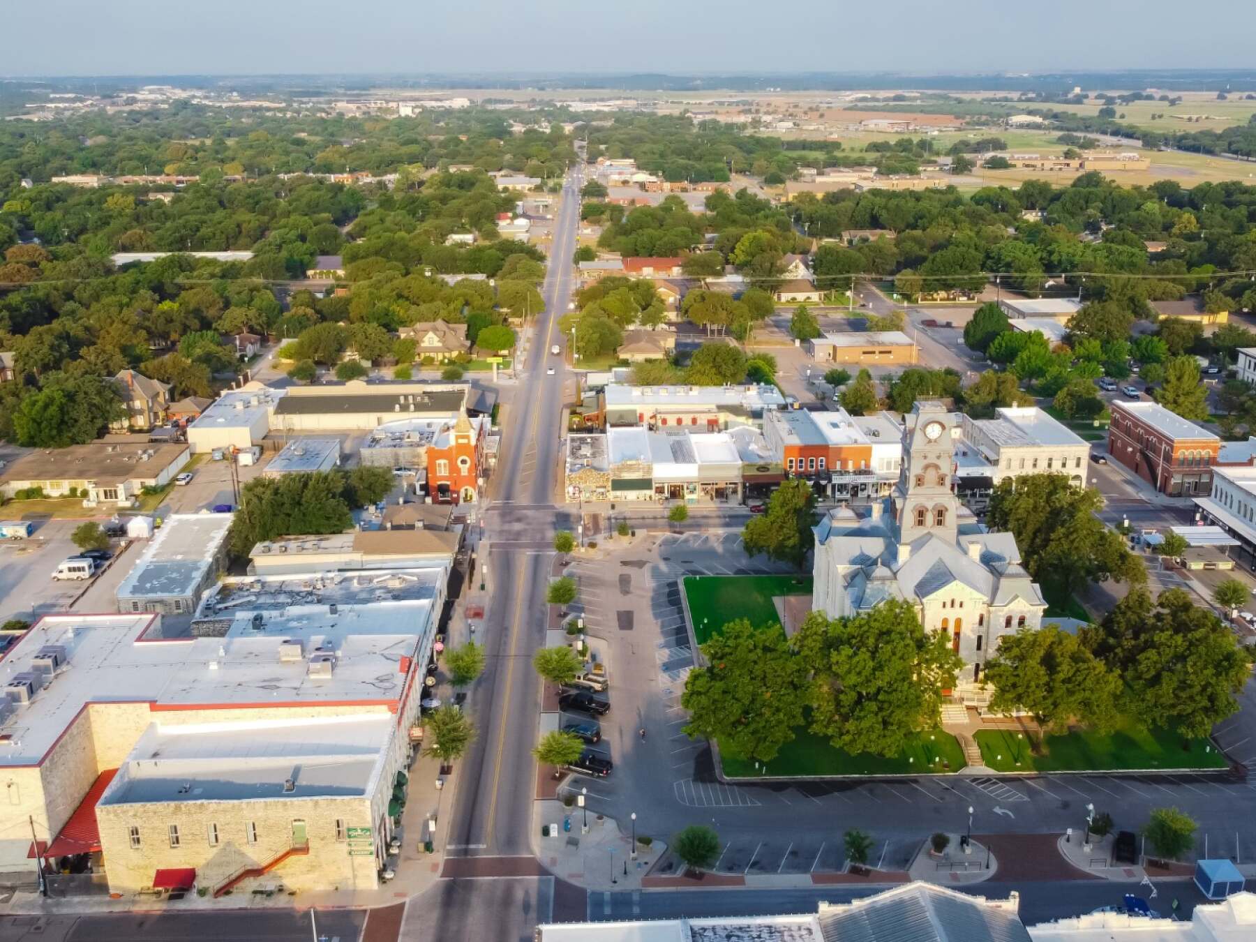
As you make the turn, look to your left and you'll get your first great view of Historic Granbury Square, with the magnificent Hood County Courthouse rising from its center.

The courthouse you see today was completed in 1891, built from locally quarried limestone and designed in the ornate Second Empire style, with its distinctive clock tower dominating the Granbury skyline. It's actually the fifth courthouse to serve Hood County—the earlier ones were replaced as this frontier community grew.

The Square surrounding it has been the heart of Granbury since the town was laid out in the 1860s. Many of the historic buildings around you date from the late 1800s, when Granbury was developing from a small frontier settlement into the commercial center of Hood County.

And here's something Granbury is particularly proud of: this became the first courthouse square in Texas to be listed on the National Register of Historic Places.

Today, the old storefronts are filled with restaurants, shops, galleries, and entertainment, but the layout you're driving through is remarkably similar to what residents would have known more than a century ago.

Keep an eye on the Square as we continue along Crockett Street. There's much more Granbury history coming up.

Read More
Place #4
Distance: 0.13mi
Map Pin
119 E Bridge St, Granbury, TX 76048, USA
POI 4 Tour Image
Hood County Jail & Yeats-Duke 1858 Working Museum
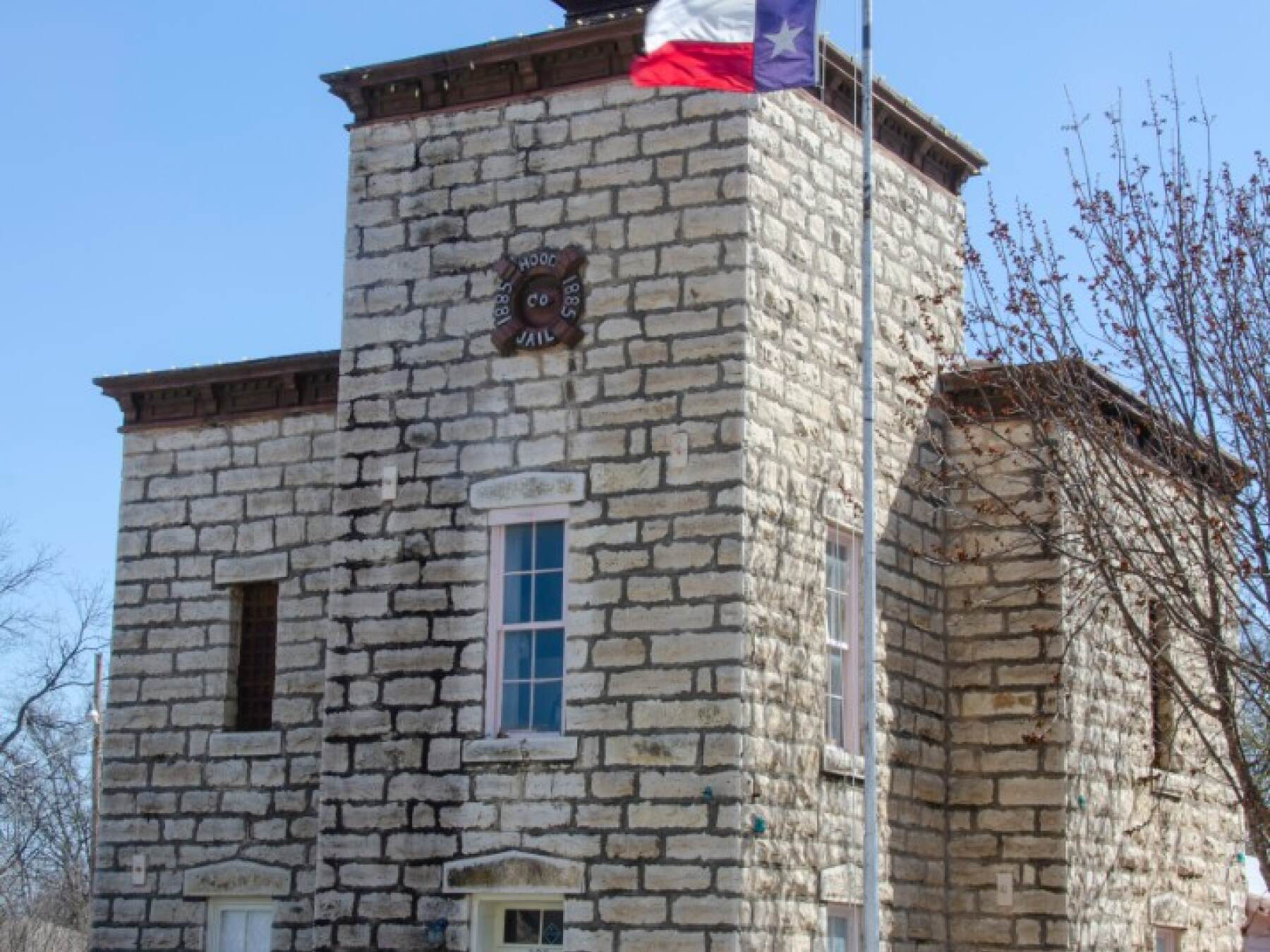
Coming up on your right is the Hood County Jail Museum, housed in the county's old stone jail, built in 1885 and used to hold prisoners for more than 90 years, until 1978.

The sheriff's living quarters and offices were downstairs, while prisoners were kept upstairs behind heavy iron doors. The building even includes a gallows room, although the planned gallows were never actually installed. Today, the old jail is a museum where you can step inside and get a surprisingly vivid look at crime, punishment, and everyday law enforcement in early Hood County.

And immediately following the jail, also on your right, is the Yeats-Duke 1858 Working Museum.

The little log cabin dates all the way back to 1858, before Granbury itself was formally established. It gives you a very different glimpse of frontier life, with period furnishings, tools, household items, and demonstrations showing how families actually lived and worked in this part of Texas before electricity, indoor plumbing, or most of the conveniences we take for granted today.

Within just a few seconds, you've passed two very different sides of nineteenth-century Granbury: the place where people lived and worked—and the place you definitely didn't want to end up.
Place #5
Distance: 0.28mi
Map Pin
528 N Crockett St, Granbury, TX 76048, USA
POI 5 Tour Image
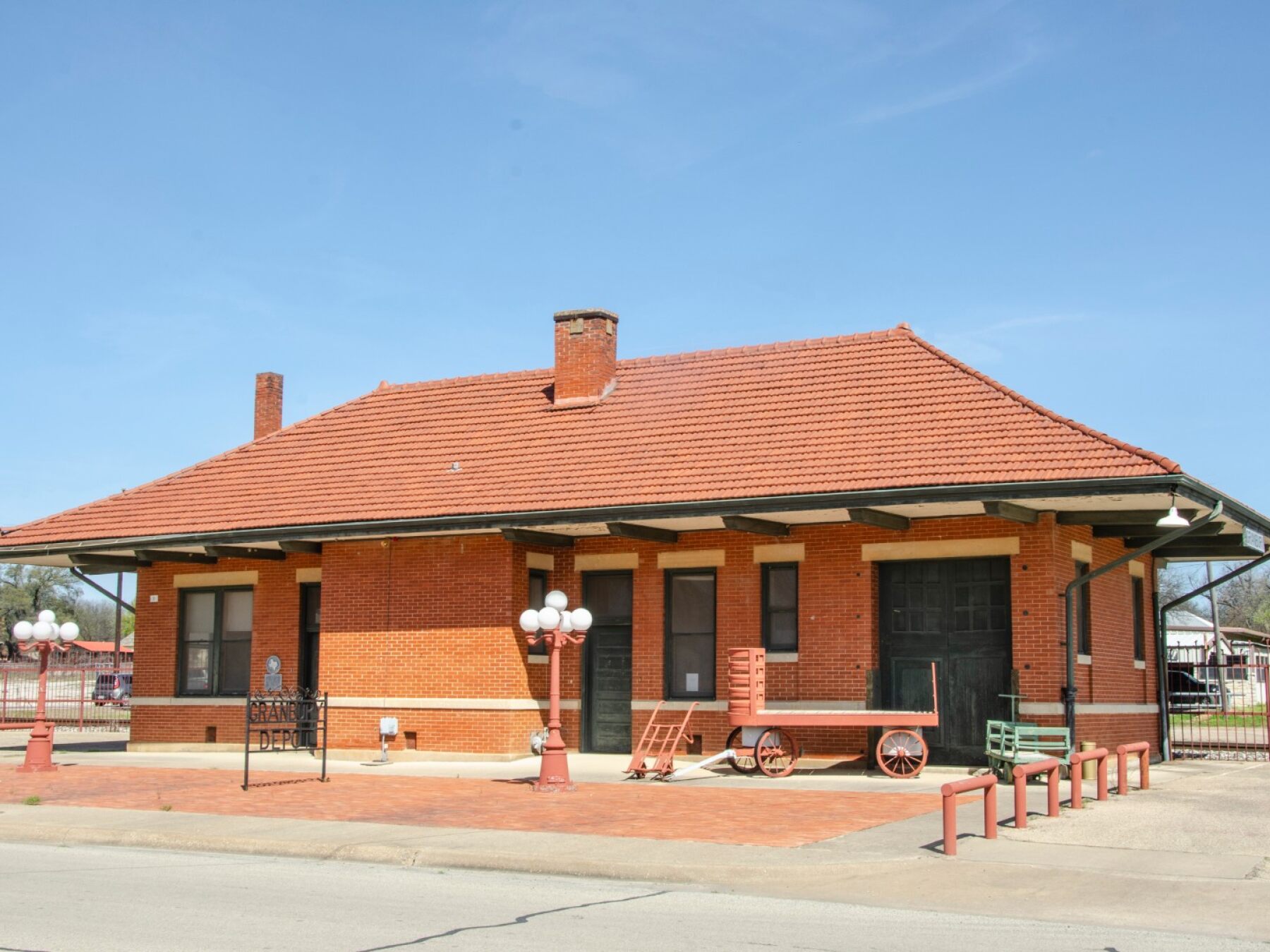
Granbury Depot: The Railroad Comes to Town
Welcome to the Granbury Depot, coming up on your right.

The arrival of the railroad was a major turning point for Granbury. When rail service reached town in the 1880s, Granbury suddenly had a much faster connection to Fort Worth and markets beyond. Farmers and ranchers could ship their products more easily, merchants could bring in goods from distant cities, and people and news could travel in and out of town faster than ever before.

The depot you see today was built in 1914 and served the community during the heyday of passenger rail travel. Imagine this area bustling with travelers stepping off trains, families waiting for relatives, and freight being loaded and unloaded.

Today, the old depot has traded passengers and freight for history. It's preserved as a reminder of the railroad era that helped transform Granbury from an isolated frontier community into a connected Texas town.

Continue ahead as we leave the historic center of Granbury behind.
Place #6
Distance: 0.17mi
Map Pin
510 E Moore St, Granbury, TX 76048, USA
POI 8 Tour Image
Granbury Cemetery: History, Heroes & an Outlaw Legend
Turn left, and you'll soon see Granbury Cemetery on your right.

This historic cemetery is actually older than Granbury itself, with graves dating back to the 1850s. Generations of local families are buried here, along with veterans of several American wars.

If you decide to stop and explore, one of the graves you can find here belongs to General Hiram B. Granbury, the man for whom the city was named. Granbury was a Confederate general who was killed at the Battle of Franklin, Tennessee, in 1864. Nearly thirty years later, his remains were brought back to Texas and reburied here, in the town that carries his name.

But General Granbury isn't the only famous name you can find in this cemetery.

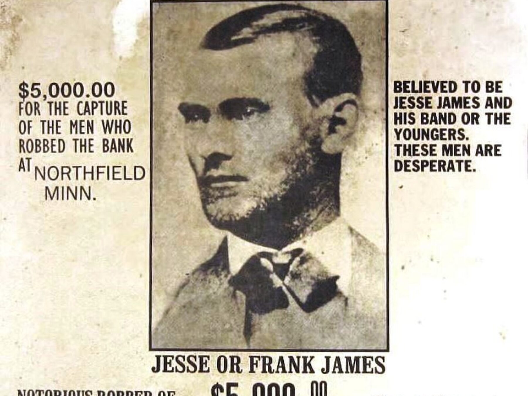
There's also a grave marked Jesse Woodson James.

Now, according to accepted history, the notorious outlaw Jesse James was shot and killed in Missouri in 1882. But a man named J. Frank Dalton, who lived into his 100s, claimed that story wasn't true. He said that he was the real Jesse James, that he had survived and lived under an assumed identity for decades.

Dalton died in Granbury in 1951 and was buried right here. His claim has been debated ever since, and most historians don't accept it. But his grave—and the mystery surrounding it—has become one of Granbury's most enduring legends.

So, if you decide to explore the cemetery, you can visit the grave of the man Granbury was named after... and the grave of a man who claimed to be one of America's most famous outlaws.

Read More
Place #7
Distance: 0.11mi
Map Pin
710 Paluxy Rd, Granbury, TX 76048, USA
POI 15 Tour Image
Paluxy Road: The Scenic Route Begins
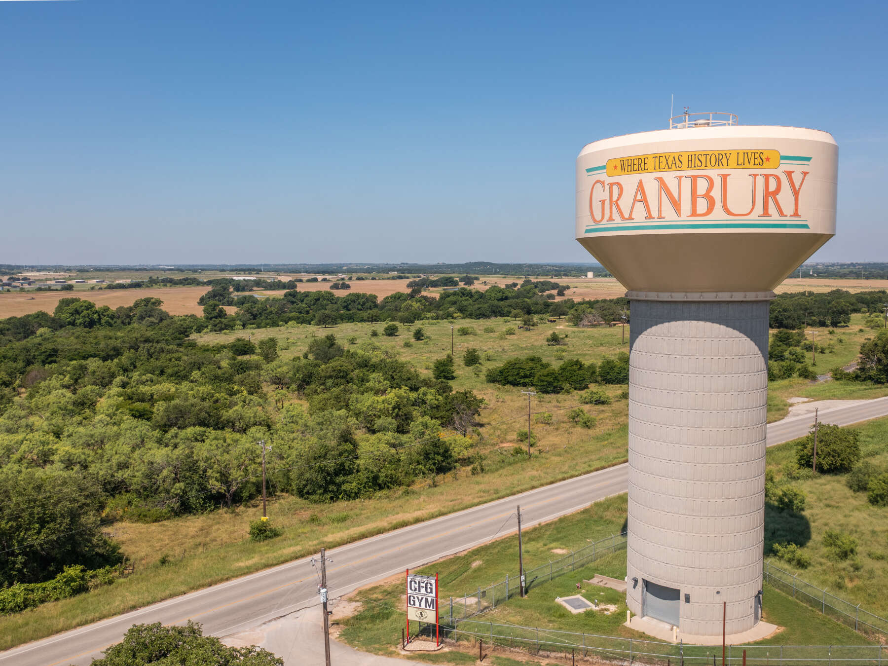
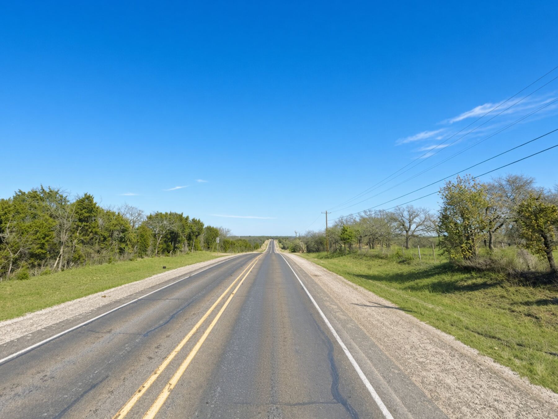
Welcome to Paluxy Road. We're leaving the center of Granbury behind now and beginning the scenic portion of our tour.

This stretch is part of a locally recognized scenic drive known as the Comanche Peak Loop, a route that takes us out into the countryside south of Granbury, past ranchland, rolling hills, wildflowers when they're in season, and eventually toward one of the area's most distinctive landmarks — Comanche Peak.

The scenery out here is quite a change from the historic streets we just explored, so settle in and enjoy the drive.
Place #8
Distance: 2.20mi
Map Pin
4600 Peak Rd, Granbury, TX 76048, USA
POI 17 Tour Image
Comanche Peak
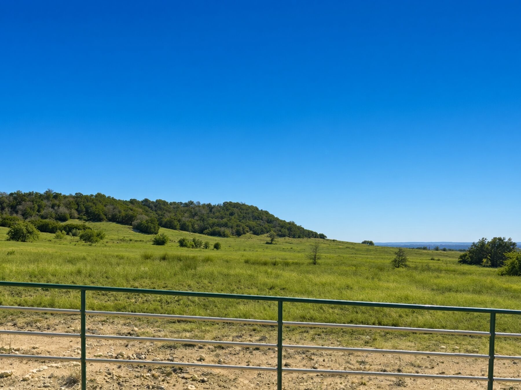
Look to your left and you'll see Comanche Peak, one of the most distinctive landmarks in the Granbury area.

Despite its name, Comanche Peak isn't really a mountain. It's a flat-topped limestone mesa, rising to about 1,229 feet above sea level. Its unusual shape made it an easily recognizable landmark long before modern roads crossed this part of Texas.

The peak takes its name from the Comanche people, who once dominated a vast territory across this part of Texas and the Southern Plains. High points like this were useful landmarks in an otherwise enormous landscape, and the area around the peak became closely associated with the frontier history of Hood County.

For early settlers and travelers, Comanche Peak was something you could spot from miles away—a natural signpost telling you exactly where you were.

Keep an eye on it to your left as we continue along our scenic drive.
Place #9
Distance: 1.95mi
Map Pin
3039 Pear Orchard Rd, Granbury, TX 76048, USA
POI 18 Tour Image
Pear Orchard Road
Welcome to Pear Orchard Road, one of the prettiest stretches of our scenic drive.

For the next couple of miles, just enjoy the Texas countryside around you — rolling ranchland, big country homes, old trees, and, during the spring, plenty of wildflowers along the roadside.

And here's something unusual to keep an eye out for: pieces of petrified wood have been found scattered along the roadside ditches in this area.

You may also catch some great views of Comanche Peak behind you and across the surrounding countryside.

Enjoy the drive. This quiet little country road is exactly why we took the scenic route.
Place #10
Distance: 0.24mi
Map Pin
225 Mambrino Hwy, Granbury, TX 76048, USA
POI 22 Tour Image
Mambrino Highway: A Town That Almost Disappeared
Welcome to Mambrino Highway.

You might be wondering where a name like Mambrino came from. Well, this road takes its name from a tiny farming community that once stood out here in the countryside.

The settlement was originally known as Shady Grove, but when a post office was established, the community took the name Mambrino — reportedly after a famous racehorse. And fittingly enough, there was once a racetrack right here in the Mambrino community.

At its peak, this little settlement had a cotton gin, general store, drugstore, blacksmith shop, café, churches, a school, and even two doctors.

Most of that is gone today, but the name survived — and so did Mambrino Highway.

Continue ahead, because this road is also taking us toward one of the best views of Lake Granbury.
Place #11
Distance: 0.84mi
Map Pin
7109 Lake Village Ct, Granbury, TX 76048, USA
POI 24 Tour Image
A. L. Brooks Jr. Observation Point
Coming up shortly on your left is the A. L. Brooks Jr. Observation Point.

Feel free to pull in and make a quick stop. From here, you'll get a beautiful view across Lake Granbury and DeCordova Bend Dam, and it's a great spot to stretch your legs and snap a few photos.

Whenever you're ready, simply get back on the road and continue in the same direction to resume the tour.
Place #12
Distance: 0.33mi
Map Pin
8501 Monticello Dr, Granbury, TX 76049, USA
POI 29 Tour Image
Crossing the Brazos River
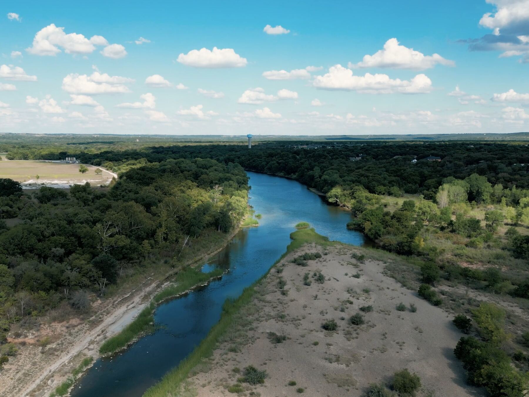
We're about to cross the Brazos River on the Monticello Drive Bridge.

The Brazos is one of the great rivers of Texas, flowing for more than 800 miles before eventually emptying into the Gulf of Mexico. Its name comes from the Spanish Río de los Brazos de Dios, meaning “River of the Arms of God.”

Here in Granbury, the Brazos takes on a very different appearance. The river was dammed downstream in 1969, creating Lake Granbury, so much of the wide, calm water you've been seeing around us is actually the Brazos itself.
Place #13
Distance: 2.92mi , Attraction : Historic Site, Park
Map Pin
3908 Fall Creek Hwy, Granbury, TX 76049, USA
POI 32 Tour Image
Acton State Historic Site: Davy Crockett’s Texas Connection
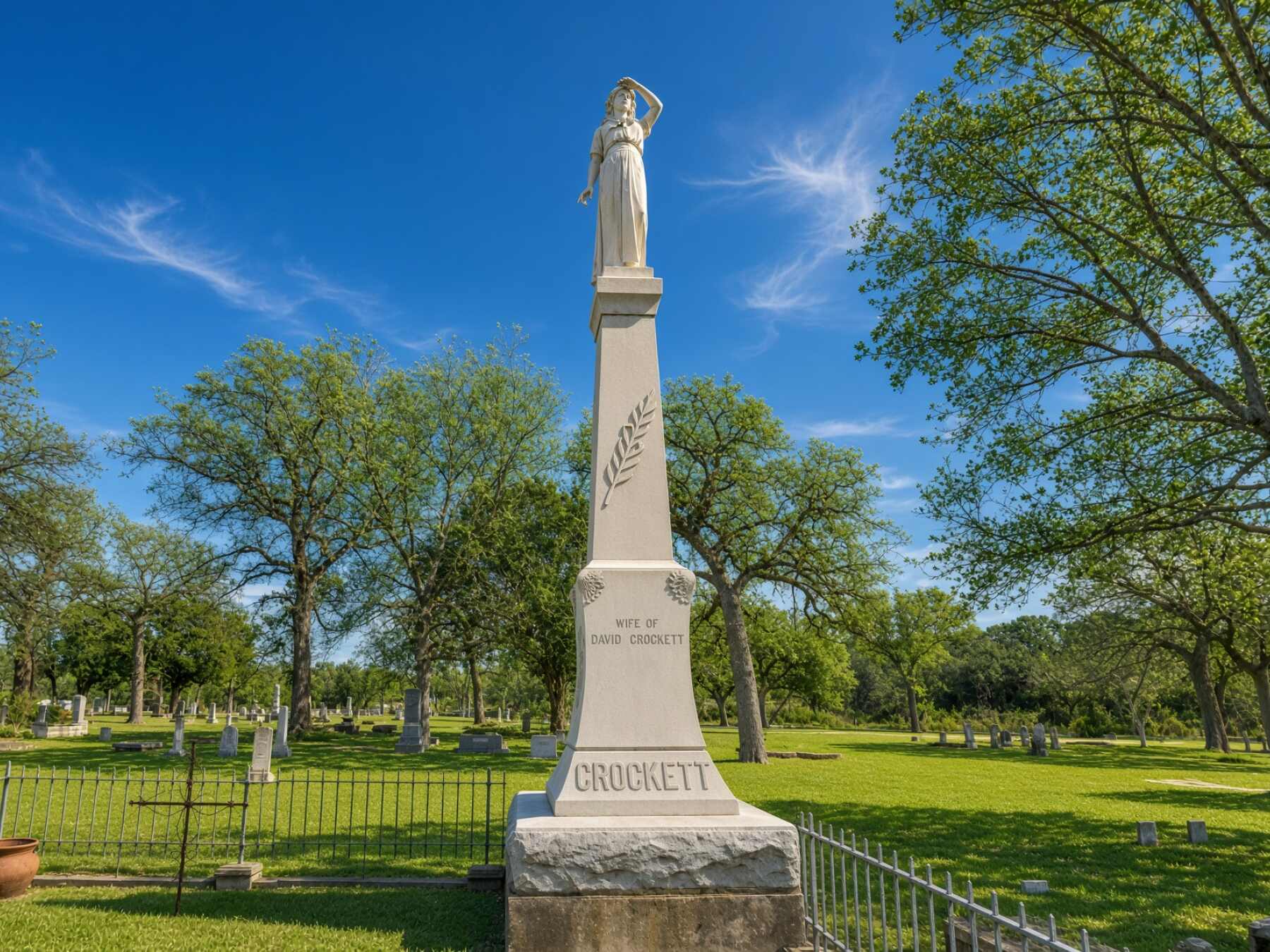
Coming up on your left is the Acton State Historic Site, the final resting place of Elizabeth Crockett, the second wife of legendary frontiersman Davy Crockett.

Davy Crockett was killed at the Battle of the Alamo in 1836, but Elizabeth never saw Texas while he was alive. Years after his death, she and several of their children moved here after the Republic of Texas granted land to the families of men who had died fighting for Texas independence.

Elizabeth died in 1860 at the age of 72 and was buried here in Acton Cemetery. Years later, the state erected the striking monument you can see at the site, topped by a statue of Elizabeth shading her eyes as if looking into the distance, waiting for Davy to return.

The site has another unusual distinction: at just a fraction of an acre, Acton State Historic Site is the smallest state historic site in Texas.

If you'd like a closer look, you can pull in on your left and visit Elizabeth Crockett's grave and monument. Otherwise, simply continue ahead with the tour.

  https://www.thc.texas.gov/historic-sites/acton-state-historic-site
Place #14
Distance: 0.42mi
Map Pin
3600 East US Hwy 377, Granbury, TX 76049, USA
POI 35 Tour Image
US 377 & Farm to Market Road 4
We're now heading back toward Granbury on U.S. Highway 377.

But here's something you probably wouldn't know just from looking at the road signs: this stretch of Highway 377 is also part of Farm to Market Road 4.

Texas' famous Farm to Market roads were created to connect rural communities and farms with towns and commercial markets. And FM 4 is a particularly long one, winding through North Texas for well over a hundred miles.

For a short stretch here between Acton and Granbury, FM 4 and U.S. 377 share the exact same pavement, something highway planners call a concurrency.

So right now, you're actually driving on two highways at the same time.

Continue straight toward Granbury.
Place #15
Distance: 1.94mi , Attraction : Lake, Natural Attraction (Recommended selfie spot).
Map Pin
1458 E Pearl St, Granbury, TX 76049, USA
POI 36 Tour Image
Crossing Lake Granbury
We're now crossing the Pearl Street Bridge, with Lake Granbury stretching out around us.

And if you've been wondering whether this is a lake or the Brazos River, the answer is actually both.

Lake Granbury was created in 1969 when the Brazos River was dammed downstream at DeCordova Bend. So beneath all that water is the original channel of the Brazos River, but here the widened river is part of the reservoir we know today as Lake Granbury.

The lake stretches for more than 30 miles along the Brazos and has become one of the defining features of Granbury, popular for boating, fishing, swimming, and simply enjoying the water.

Enjoy the view as we cross, because we're almost at the end of our journey. Our final stop is Granbury City Beach Park, right on the shore of the lake.

  https://www.granbury.org/210/Lake-Granbury
Place #16
Distance: 0.66mi
Map Pin
918 E Pearl St, Granbury, TX 76048, USA
POI 37 Tour Image
Granbury City Beach Park: Our Final Stop
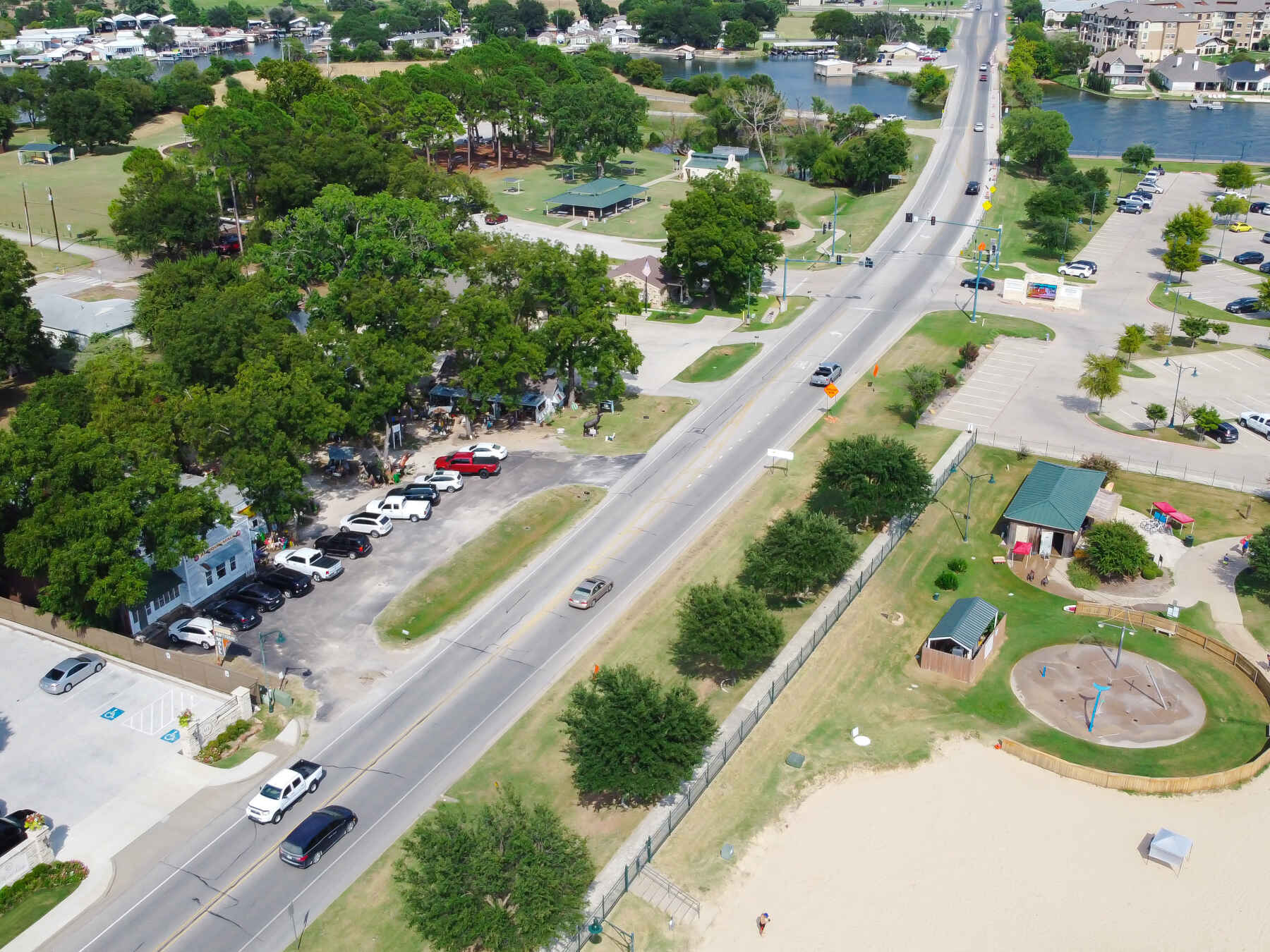
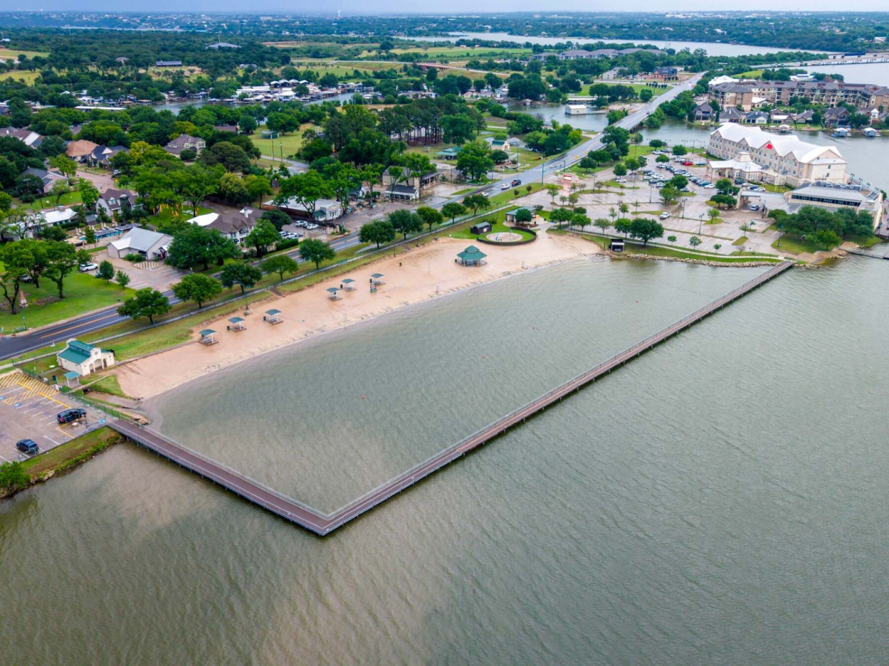
Granbury City Beach Park is coming up on your left, and it's certainly worth a stop.

And with that, we've come full circle. We began our journey just a few blocks from here, exploring Granbury's historic downtown before heading out into the Texas countryside. Along the way, we discovered old jails and pioneer homes, railroad history and outlaw legends, drove the scenic roads around Comanche Peak, crossed the Brazos River, visited the resting place of Davy Crockett's wife, and followed Lake Granbury all the way back into town.

Now it's time to get out of the car and enjoy the lake for yourself. Granbury City Beach Park offers a sandy beach right along the water and is a perfect place to relax, take a walk, or simply enjoy the view.

Thank you for exploring Granbury, Texas, with UCPlaces. We hope you enjoyed the history, the legends, and especially the scenic drive.

From all of us at UCPlaces, thanks for coming along, enjoy Granbury, and have a safe journey wherever the road takes you next!
 
How to take a UCPlaces tour
Taking a UCPlaces tour is fun and easy.
Download the app (Android or iOS), purchase the tour (either here on the website, or from within the app).
That's it, you're ready to go!
When you want to start the tour, find the tour in the app (via a quick in-app search or by clicking the tour link received in your confirmation email) and click "Start Tour" (headphones recommended for best experience.)
* After purchasing a tour you will receive a purchase confirmation email including the tour link and instructions on how to take the tour, so you don't have to remember anything now.
How does the tour work?
UCPlaces acts as your personal tour guide, providing self-guided audio tours fully navigated within our app using GPS-based navigation. You won't need to switch between external navigation apps.
Whenever you approach a point of interest (POI) on the tour, our app will automatically play the relevant audio story at the right time and place.
If you start the tour before reaching the first POI, the app will navigate you to the starting point and then begin the tour.
How is this more convenient than a traditional tour?
UCPlaces offers an innovative and flexible way to explore exciting destinations on your terms.
Here are some key advantages over traditional tours:
  • No need to commit upfront or purchase in advance; buy a tour only when you're ready to go.
  • Walk at your own pace.
  • No waiting for groups; go on your schedule.
  • Take the tour in your preferred language.
  • Start, stop and continue the tour whenever you want.
  • Returning to the same destination? Take the tour again, and again, and again... And bring a friend!
  • Enjoy preferred prices.

What's included?
  • A self-guided audio tour taken via the UCPlaces app [iOS (iPhone) / Apple CarPlay / Android / Android Auto].
  • Tour route map and in-app GPS navigation (via the UCPlaces app).
  • Audio stories for places visited during the tour.
  • Apple CarPlay connection (iOS users) and Android Auto connection (Android users); for a seamless driving tour experience.
What's NOT included?
  • Earphones (highly recommended).
  • Smartphone.
  • Any kind of transportation (including tickets and passes).
  • Tickets to the attractions on your tour.
  • Food and drinks
  • Physical tour guide.

Have any questions about this tour? Or a general travel / self-guided tours question? That's completely natural

+ How long does this tour take?
Most travelers complete this tour in approximately 1 to 1.5 hours, depending on pace, time spent at each stop, and optional detours. Having said that, please remember that self-guided tours are extremly flexible (you can start, pause, continue anytime) and everyone has their own pace.
+ What does this tour include?
This self-guided driving tour includes 16 stops, covering top attractions such as Welcome to Granbury: Doll House & Bridge Street History Center, Langdon Center, Historic Granbury Square & Hood County Courthouse, Hood County Jail & Yeats-Duke 1858 Working Museum, Granbury Depot: The Railroad Comes to Town.
+ Where does the tour start?
The tour starts at Welcome to Granbury: Doll House & Bridge Street History Center (Address: 436 E Bridge St, Granbury, TX 76048, USA). You can begin the tour there or join from any stop along the route.
+ What type of tour is this?
This is a self-guided driving tour designed to be completed by car, covering scenic routes, city highlights and optional key stops.
+ Can I do this tour at my own pace?
Yes, this is a self-guided driving tour, so you can start anytime and explore at your own pace. You can pause, skip stops, or spend more time at places that interest you. You can even split it into multiple days. Explore however feels right for you. The only vaiables that might affect your pace are speed limits and traffic congestion.
+ Do I need a car for this tour?
Yes, this is a driving tour, designed to be completed by car, with stops spread across different locations connected by a driving route.
+ Do I need anything in order to take the tour?
There are two things that you need - <b>1.</b> A mobile phone (with the UCPlaces app installed and active location services, and a cellular data plan with a decent signal for downloading the tour). <b>2.</b> A car. Here are some recommendations for a great experience: 1. Make sure your phone is fully charged and bring a charging cable for your car. 2. Connect your phone to the car speaker system via bluetooth or use our CarPlay/Android Auto option for the best experience.
+ How will I navigate from point to point during the tour?
The tour uses GPS-based navigation through the UCPlaces app, with automatic audio playback and step-by-step directions between stops. This works great either directly from your phone, or while connected to your car's multimedia system and using our CarPlay or Android Auto options. Just follow the route and listen to the audio guide. Use the resume feature to continue from where you recently stopped (or closed the app). Easily skip or go back to stops.
+ Is this tour suitable for families or groups?
Yes, self-guided tours are ideal for families and small groups, allowing everyone to explore comfortably without being tied to a fixed schedule.
+ What makes a self-guided tour better than a guided tour?
Self-guided tours are more flexible, affordable, and personalized. You can avoid crowds, choose your pace, and focus on the stops that interest you most.
+ I installed the app and it's now asking for GPS and media access permissions, why?
The app is your tour-guide, it needs to know where you are located on the map to be able to trigger the points of interest. It also needs access to audio and media files to provide you with this experience.
+ What happens if there are unexpected roadblocks or navigation issues?
We have been working hard to deliver a great experience. Though you may run into unexpected obstacles (the world is constantly changing), our app has multiple features and mechanisms in place to help you overcome them, including: AI assistance, force play an audio if you can't reach the stop, skip or return to stops, automatic rerouting and more.
+ Can I take the tour in my language?
Though all of our tours are primarily in English, many tours are muyltilingual (including: Spanish, German, Portuguese, French, Japanese, Hebrew, French, Arabic and more...). The tour language options depend on the specific tour - You can easily check which languages are available in the tour screen!